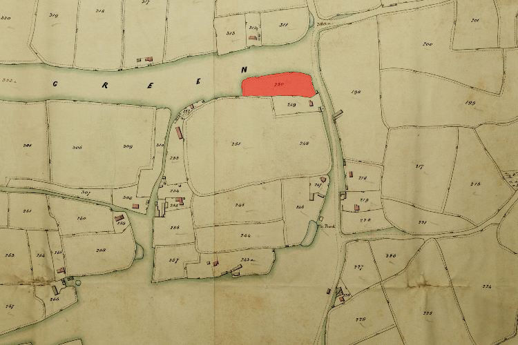
1846 Tithe Map plot number: |
250 |
1896 1:2500 OS Map plot number: |
121 |
Hobbs Plat was an arable field of about an acre, situated on the southern corner of Miles Green where it met Port Lane. In the Tithe Award it was measured at 1 acre and 4 perches; on the OS map as 0.983 acres.