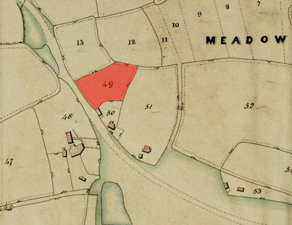
1846 Tithe Map plot number: |
49, 68 & 262 |
1896 1:2500 OS Map plot number: |
19, 28 & 209 |
Aka THE HOPPITT, HOPPITS
The Hoppit was a name, meaning a small enclosure, assigned to three plots of land.
The first was an arable field of about half an acre, situated on the north side of Ford Lane close to Ford Farm. In the Tithe Award it was measured at 2 roods and 9 perches; described on the OS map as 0.8767 acres.
The second was a meadow of about three quarters of an acre, situated on the north-east side of Bisley Green next to Bonnells. In the Tithe Award it was measured at 2 roods and 33 perches; described on the OS map as 0.831 acres.

The third was a part of Radsells Grove.