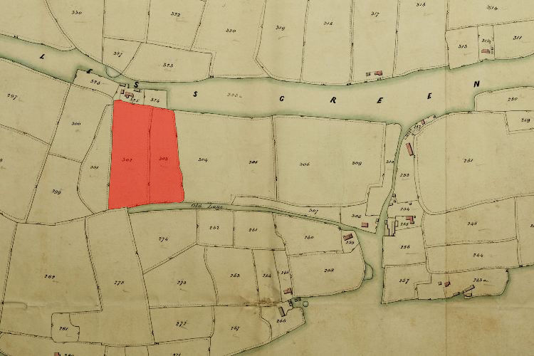
1846 Tithe Map plot number: |
302 & 303 |
1896 1:2500 OS Map plot number: |
205 |
Dead Hills was the name for closes of land totalling about four and a half acres, situated on the south side of Miles Green. In the Tithe Award they are measured at 2 acres 2 roods and 24 perches and 2 acres 3 roods and 11 perches respectively; on the OS map as 4.436 acres.
The term 'Dead Hills' probably refers to the poor agricultural quality of the land, perhaps borne out by the fact that in the tithe award the owners are show as the 'Trustees of the poor' (even a generous benefactor was unlikely to give their best land over to charity).