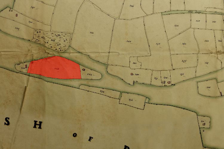
1846 Tithe Map plot number: |
285 |
1896 1:2500 OS Map plot number: |
245 |
Cox's was an arable field of about three and a half acres, situated near the south-western corner of the parish near Shrubbs Coppice. In the Tithe Award it was measured at 3 acres 1 rood and 38 perches; on the OS map at 3.411 acres.