
Robin Hood PH

Robin Hood PH 1917

Robin Hood PH c1945

Robin Hood PH 2000

Queen's Head PH
Robin Hood Road
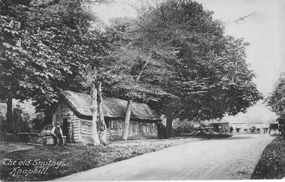
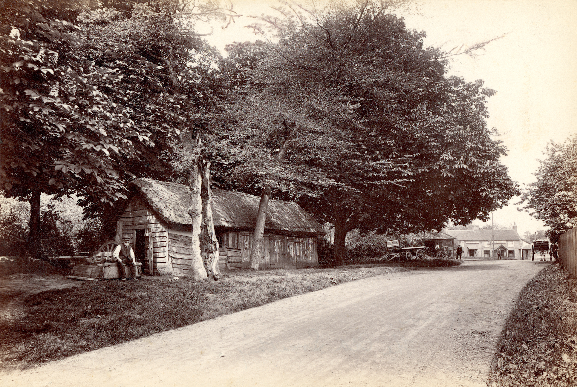
Wheelwright's shop 1911 (smithy is beyond on left of road)
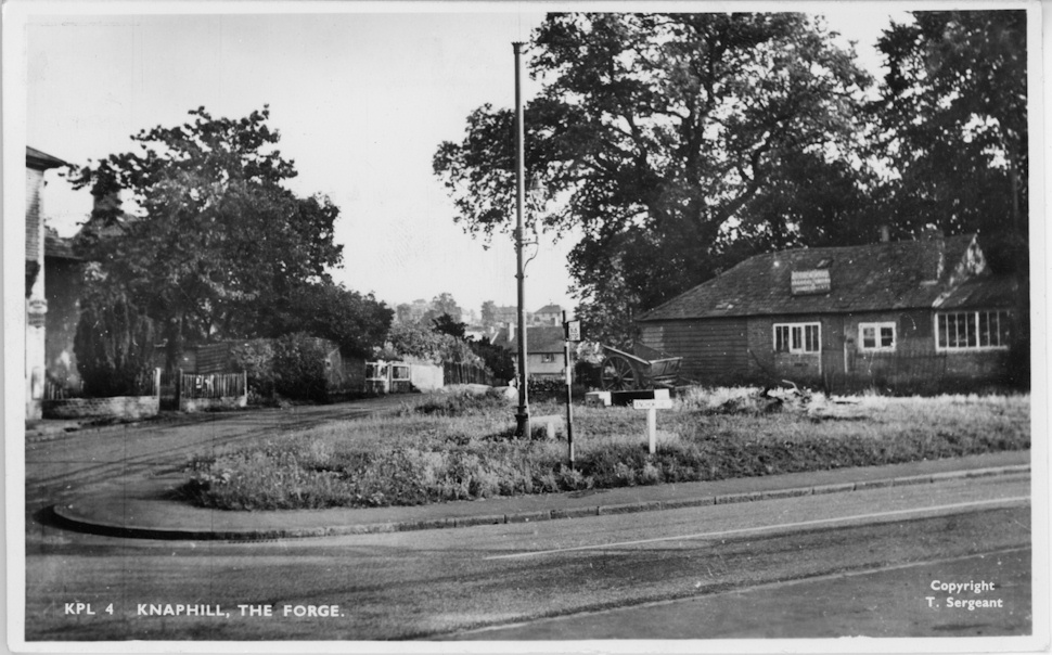
Forge c1960
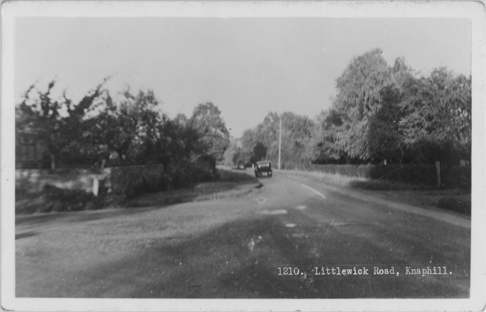
Littlewick Road c1950

Blue Gates Corner c1910

Knaphill Nursery main drive c1903
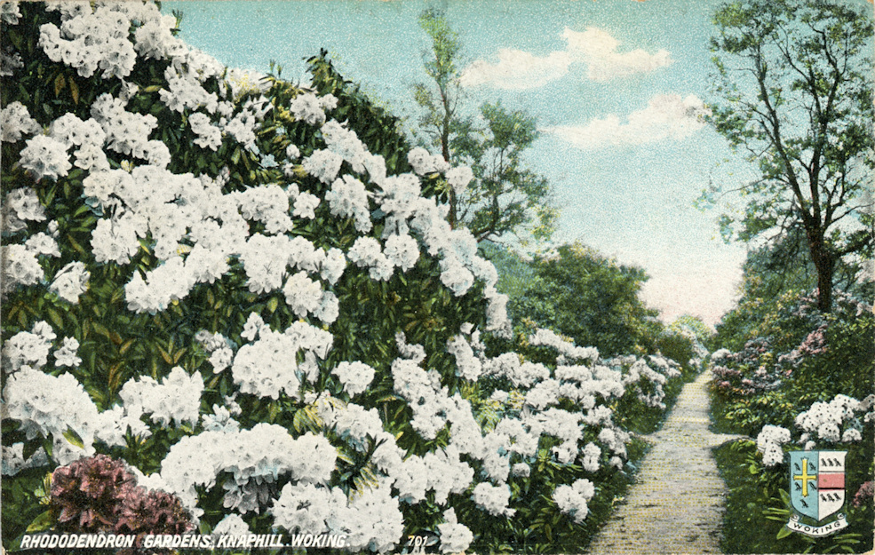
Rhododendron Gardens, Waterers Nursery c1915
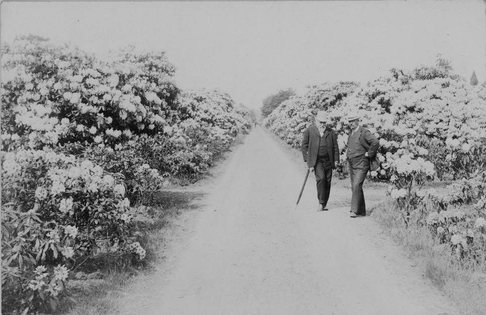
Rhododendrons, Waterers Nursery c1905

Waterers Park c1950
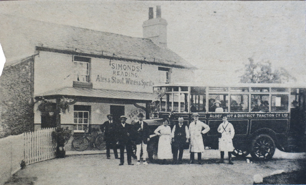
Royal Oak PH
Royal Oak PH 1910

Royal Oak PH 1911
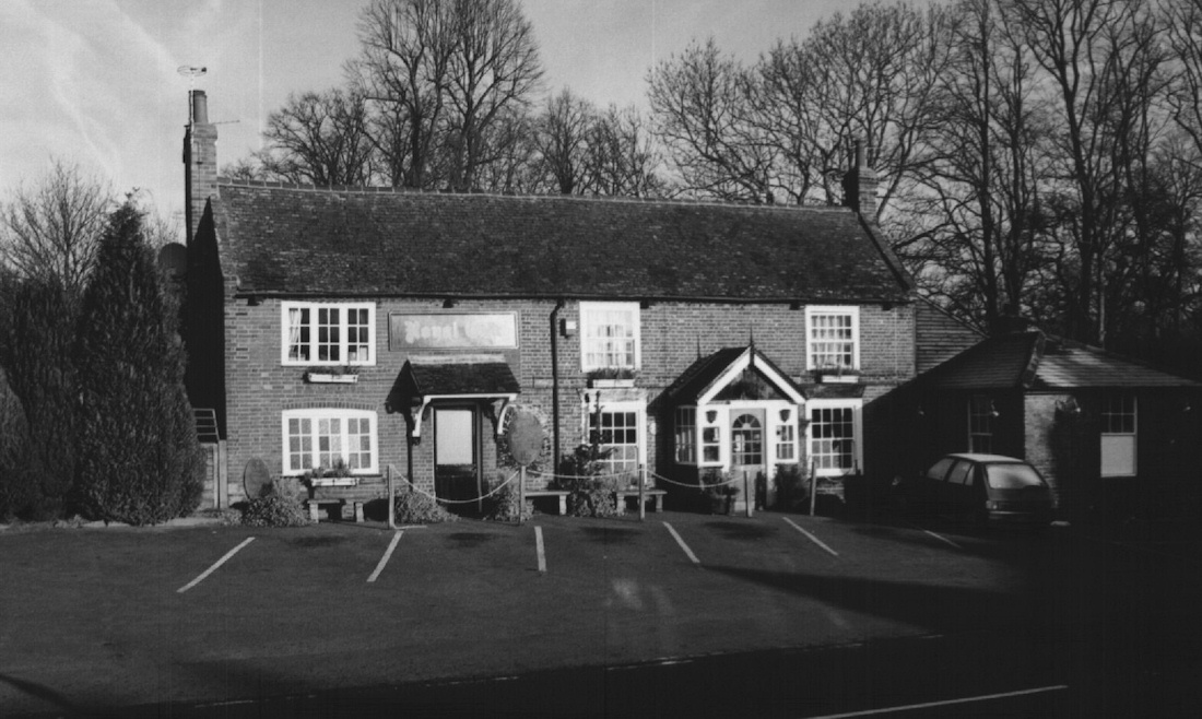
Royal Oak PH 2000

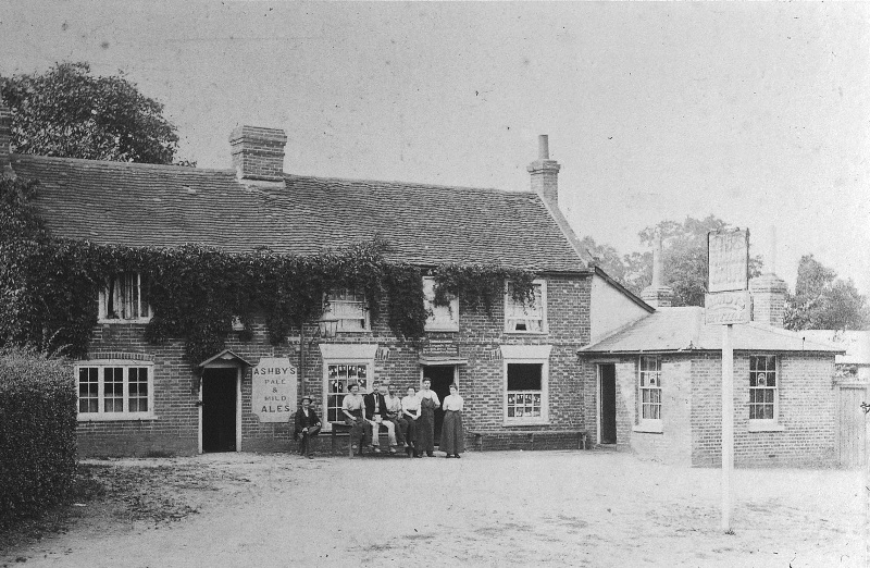
Royal Standard PH c1900
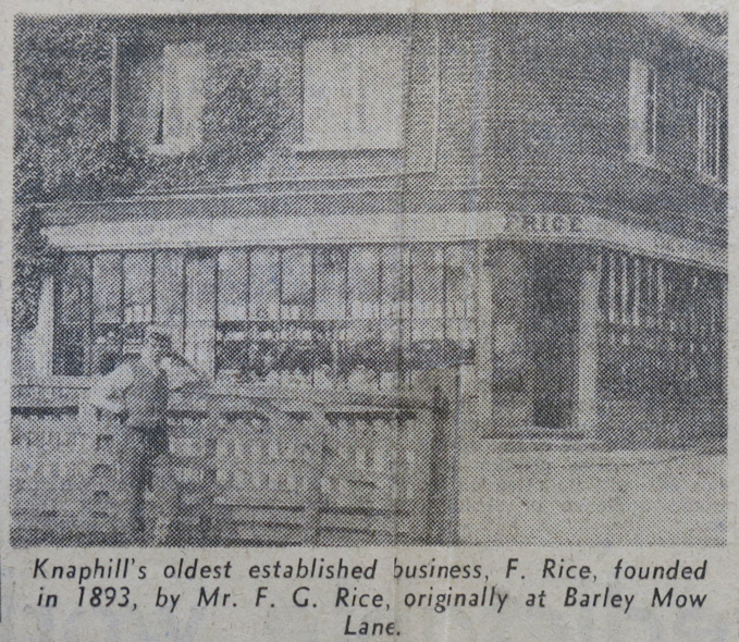
F G Rice's original shop
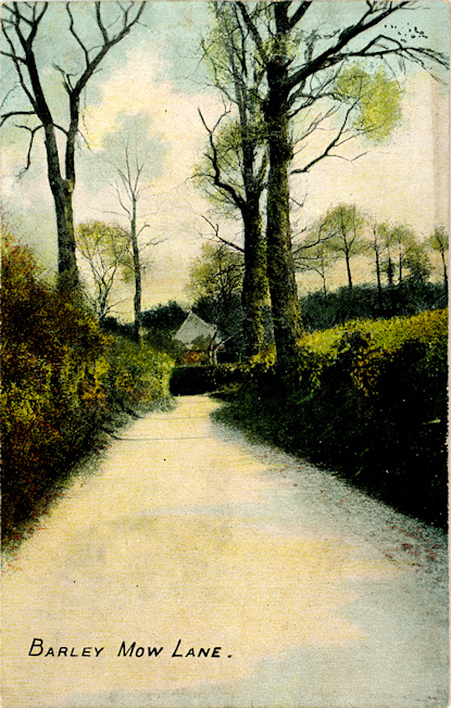
Barley Mow Lane c1905
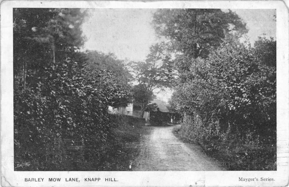
Barley Mow Lane c1905

Barley Mow Lane c1950

Anchor Hill c1905

Anchor Hill c1905

Anchor Hill c1910

Anchor Hill c1960
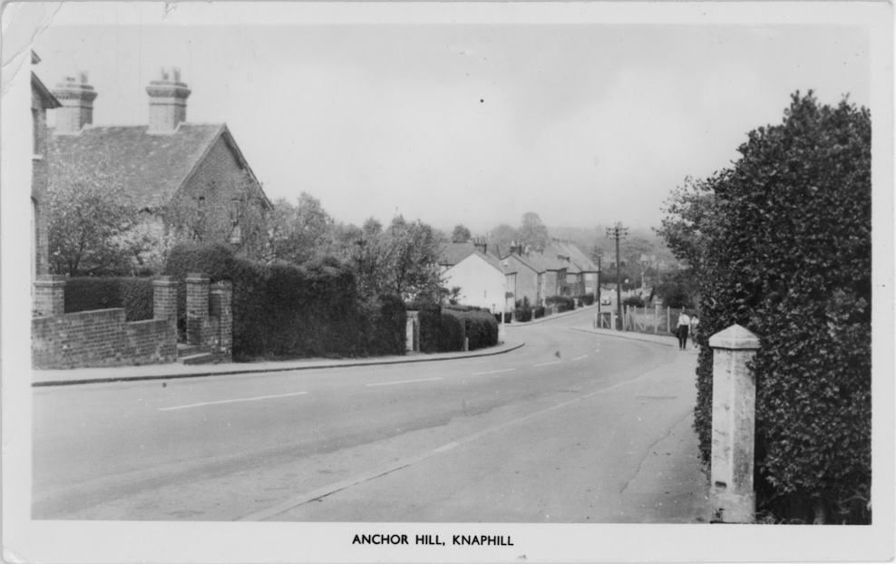
Anchor Hill c1960

Hermitage Hill c1905

Hermitage Hill 1910
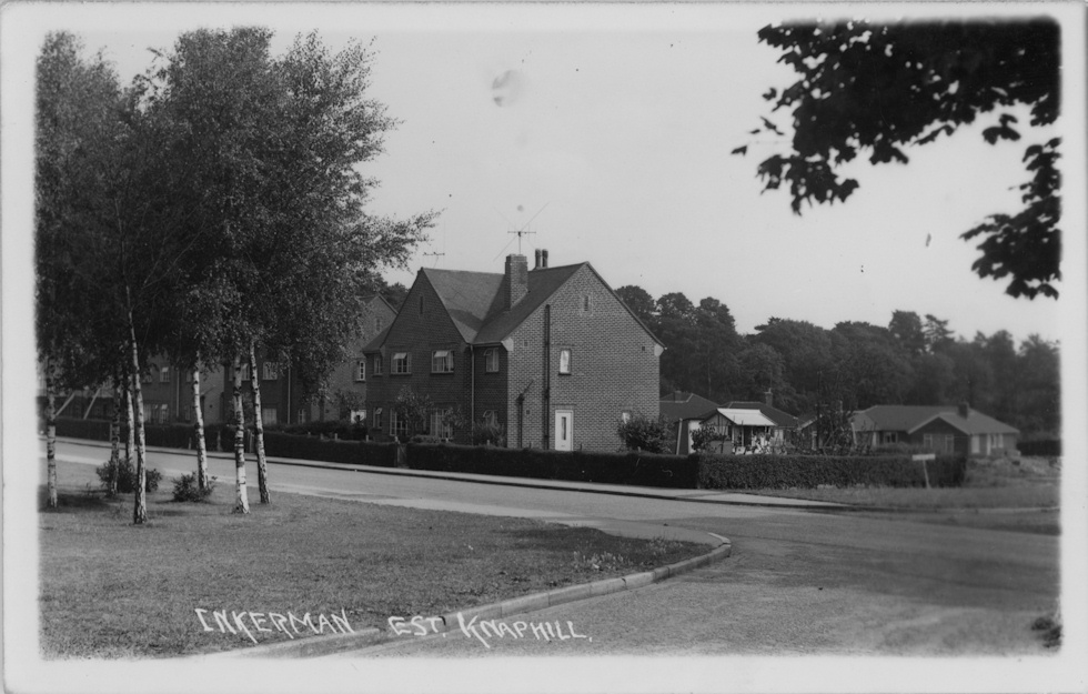
Inkerman Estate c1925

Victoria Road c1950

Guildford Road c1915
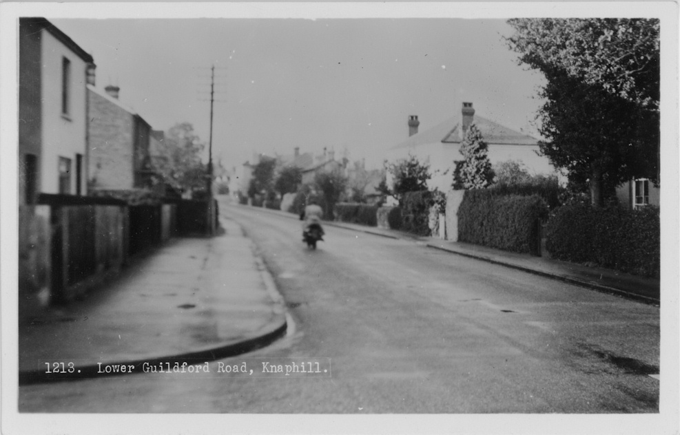
Lower Guildford Road c1950
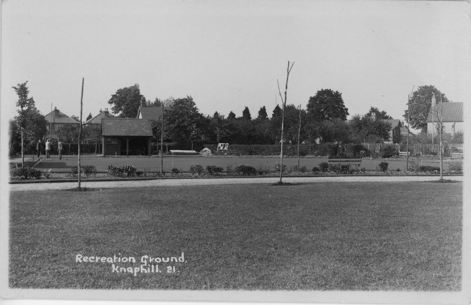
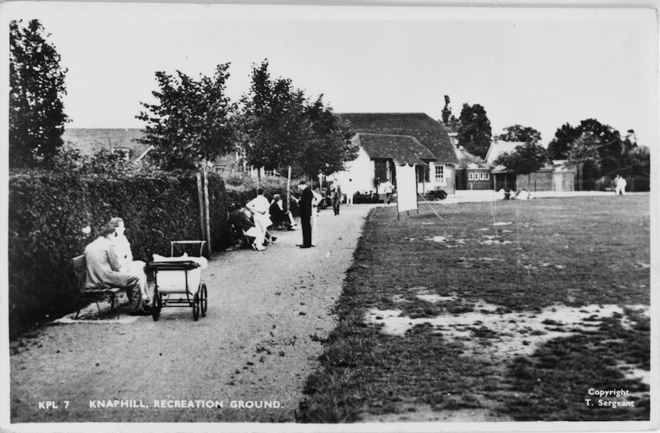
Recreation Ground c1928
Recreation Ground c1960

Stanley Farm c1920

Holy Trinity Tin Church c1902

Holy Trinity Tin Church & reading room c1902

Holy Trinity Church c1910

Holy Trinity Church 1915

Holy Trinity Church (interior) 1915

Holy Trinity Church c1920

View from Reidon Hill c1915
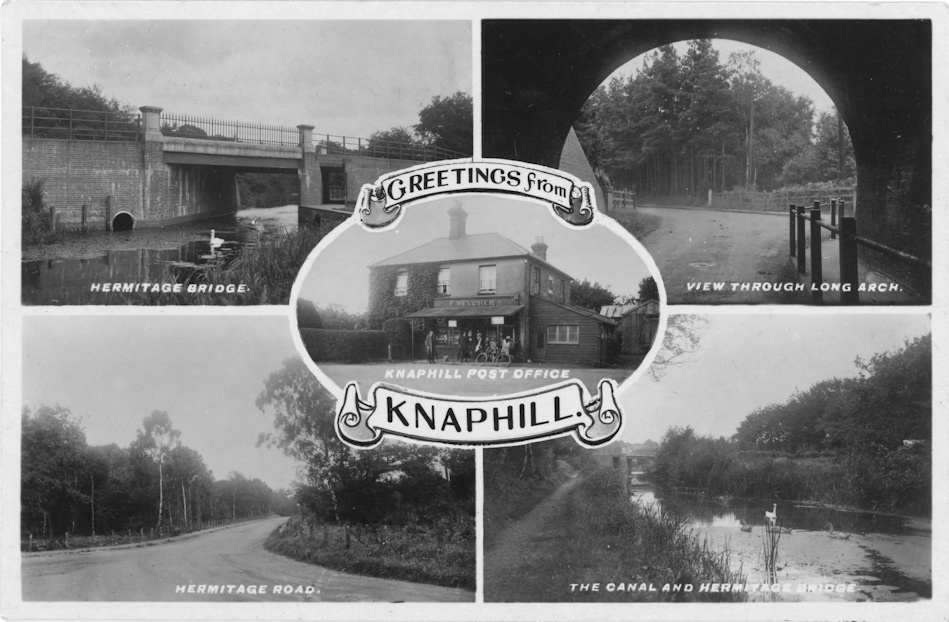
Multi-view

Long Arch, Black Horse Road c1901

Long arch, Black Horse Road
Hermitage Bridge c1930
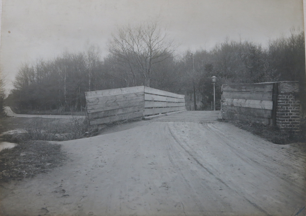
Hermitage Bridge c1910
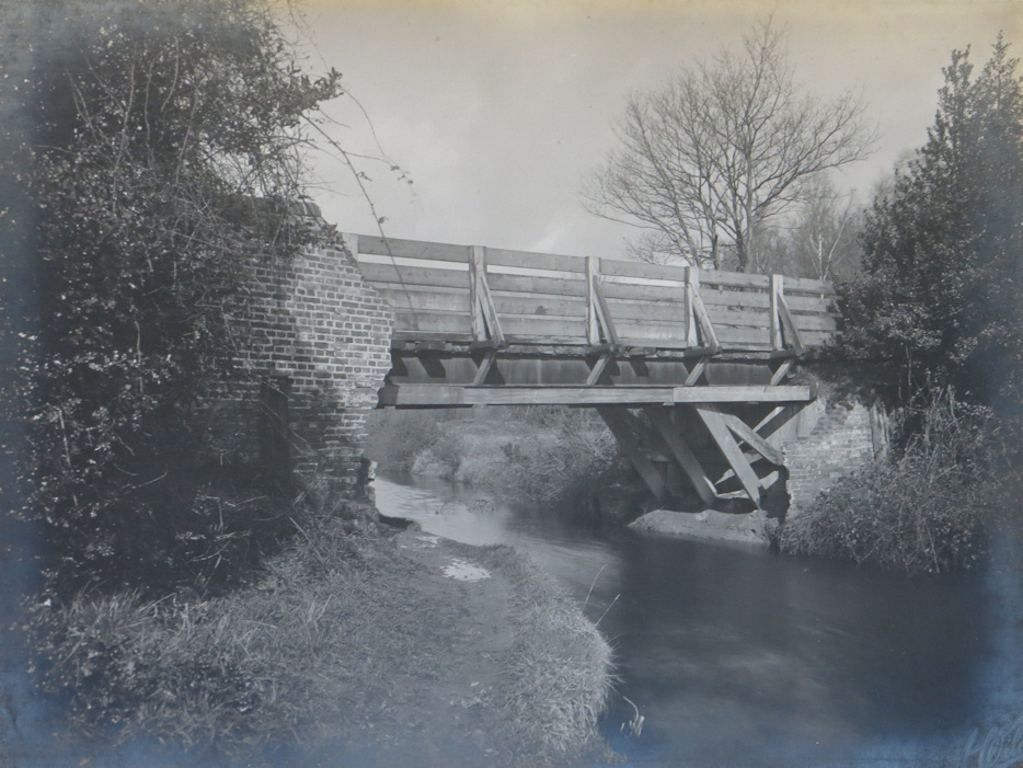
The bridge had collapsed in October 1904 and the council had made a temporary repair. A new bridge was built in 1915
Hermitage Bridge c1910

Hermitage Bridge
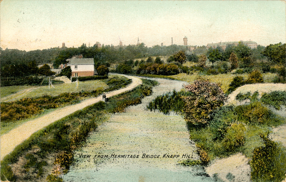
View from Hermitage Bridge (summer) c1905

View from Hermitage Bridge (winter) c1905

Bagshot Road c1950