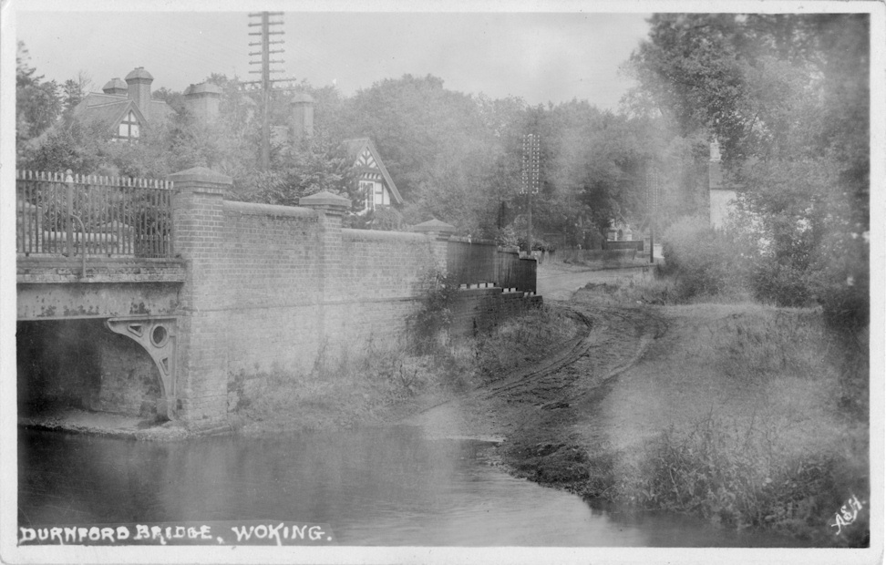
Durnford Bridge c1920

Anthonys Mission c1920
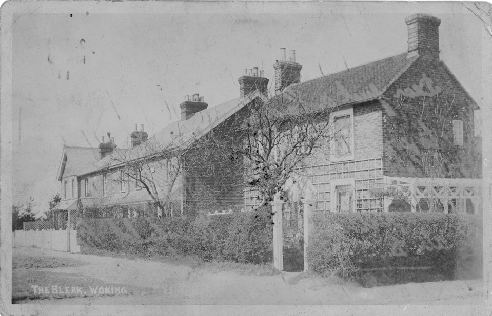
The Bleak
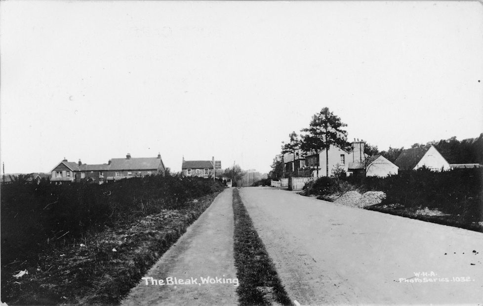
The Bleak c1920
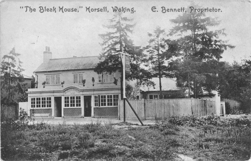
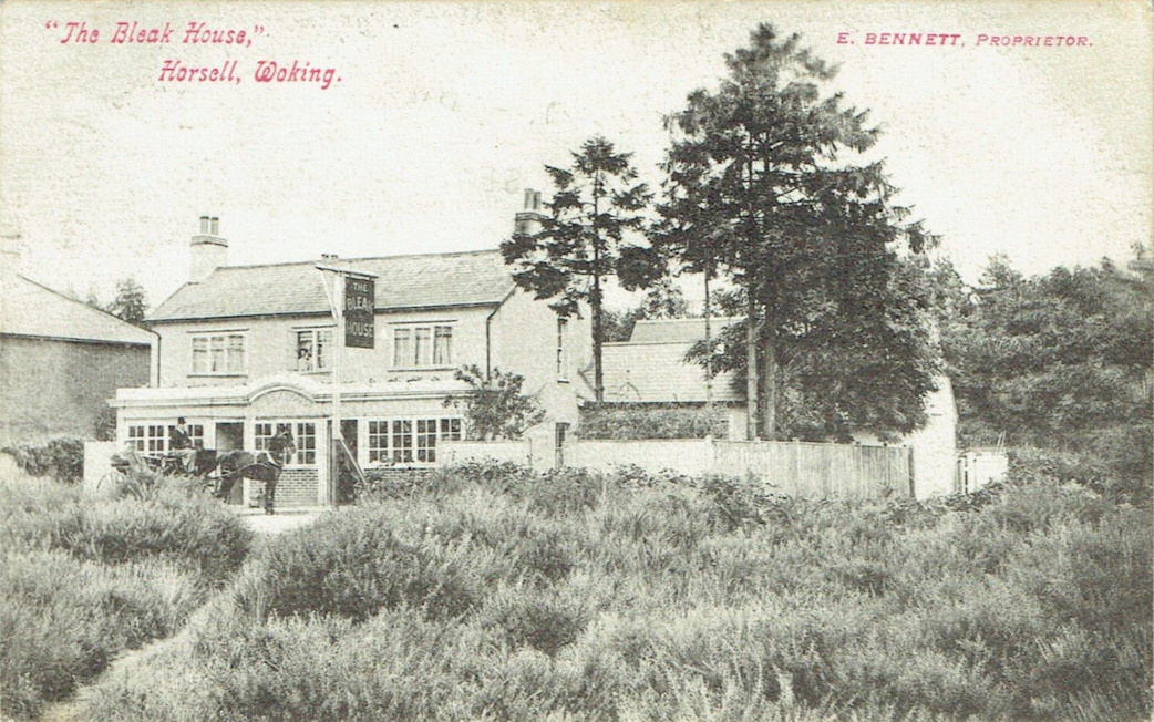
The Bleak House PH c1908
Bleak House PH c1910
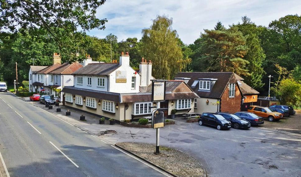
Sands
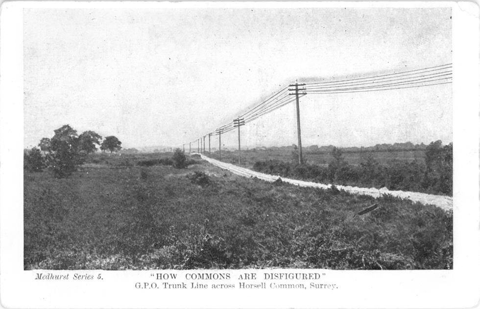
GPO Trunk Line c1905
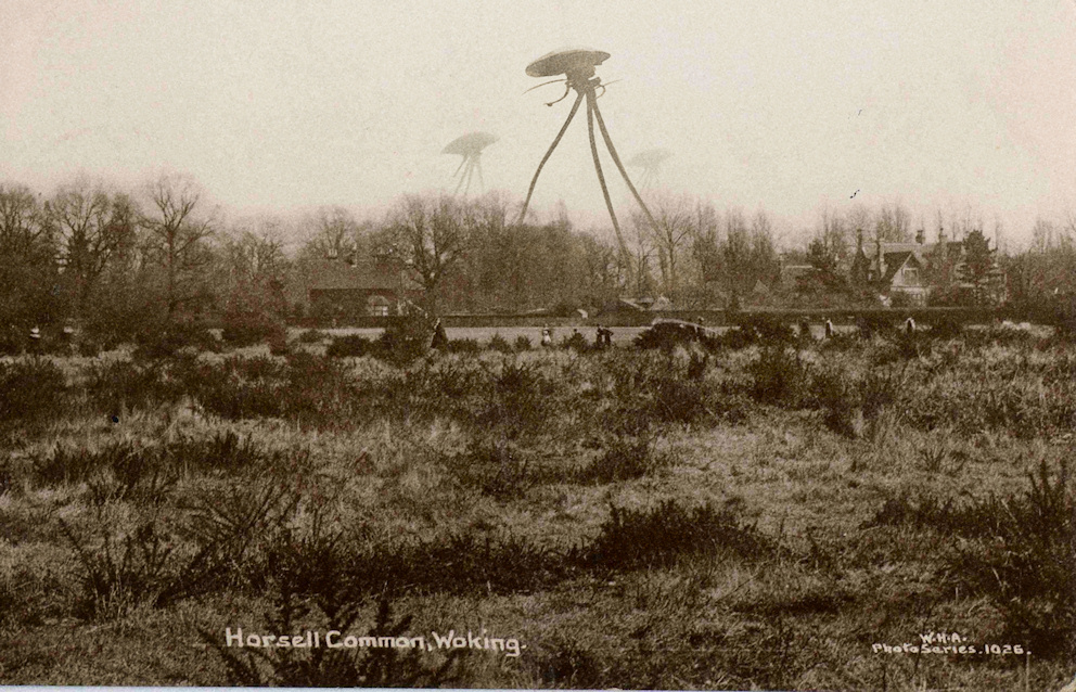
Horsell Common 1913, with added Martians
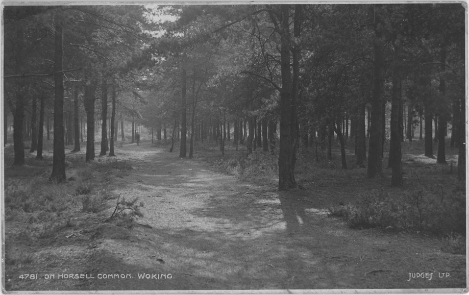
Horsell Common c1918
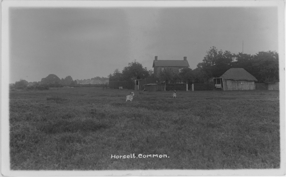
Horsell Common c1919
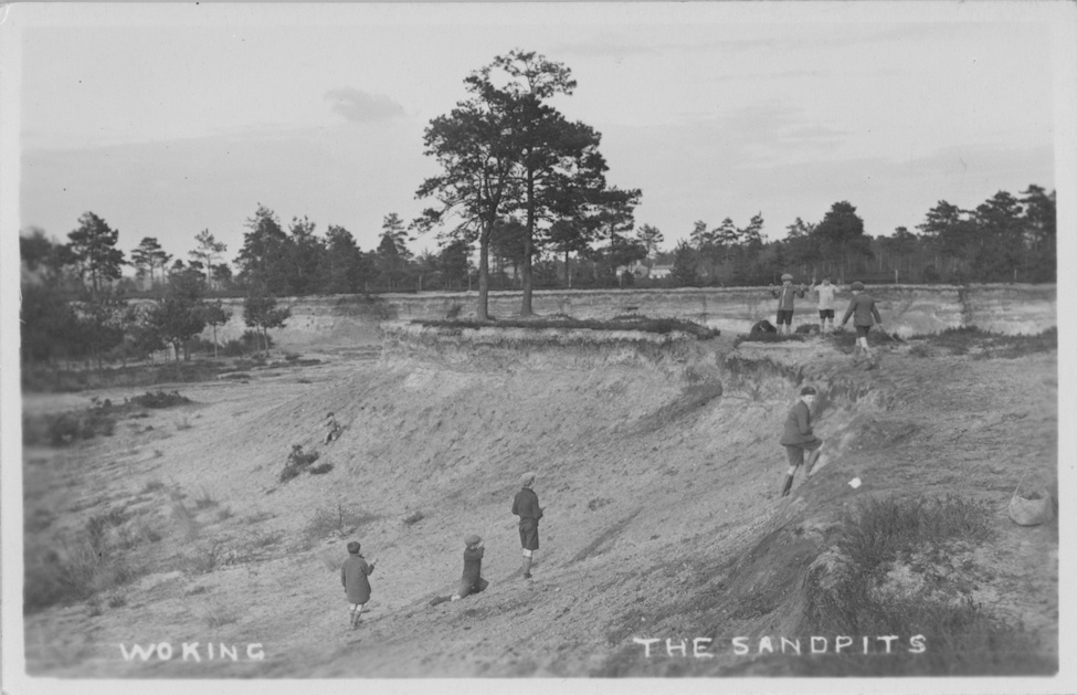
Sandpits on Horsell Common c1930
Recreation Ground c1930
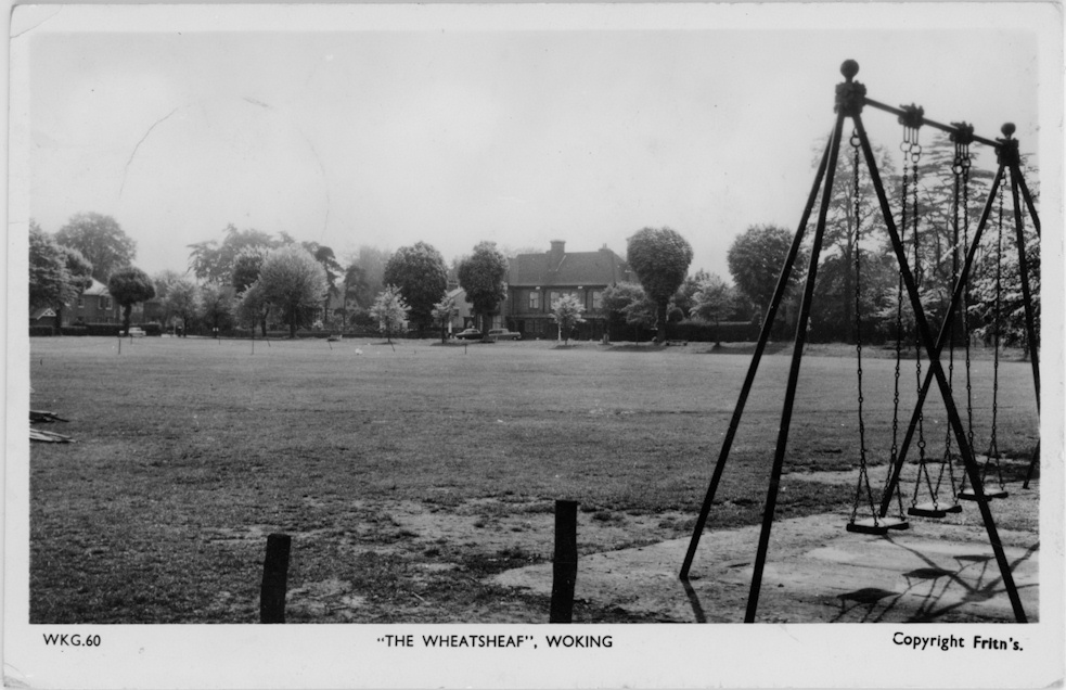
Recreation Ground c1960

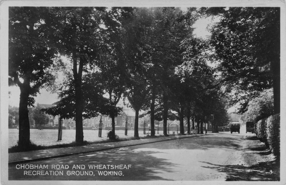
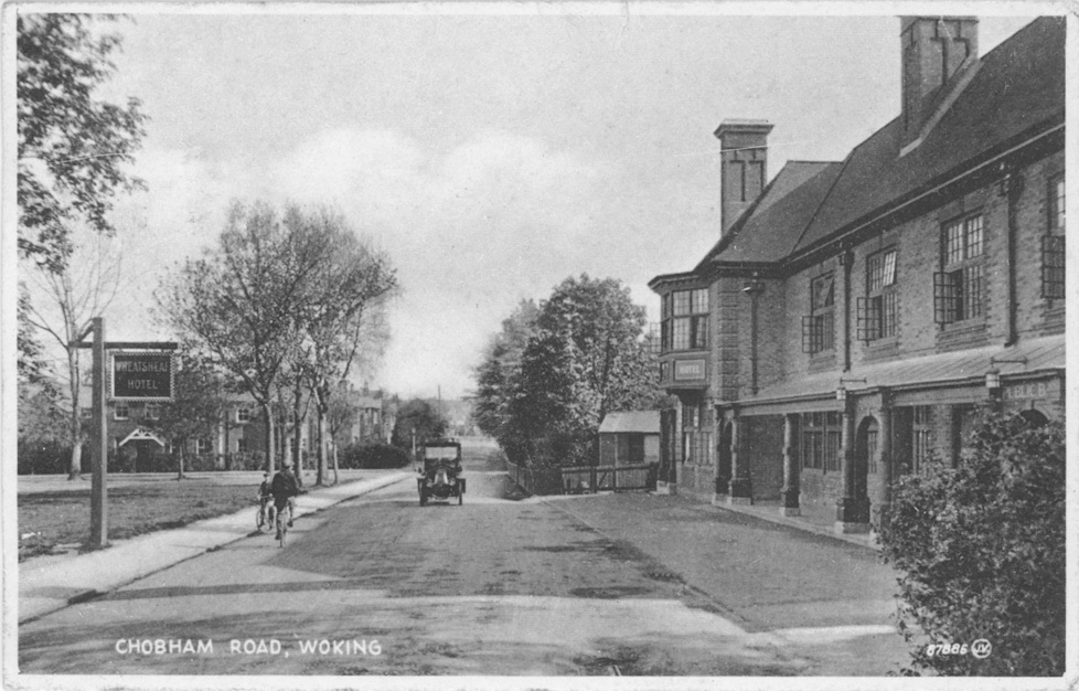
Chobham Road c1903
Wheatsheaf Hotel 1923
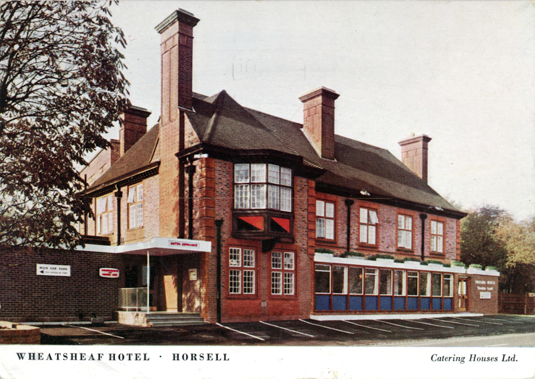
Wheatsheaf Hotel c1965
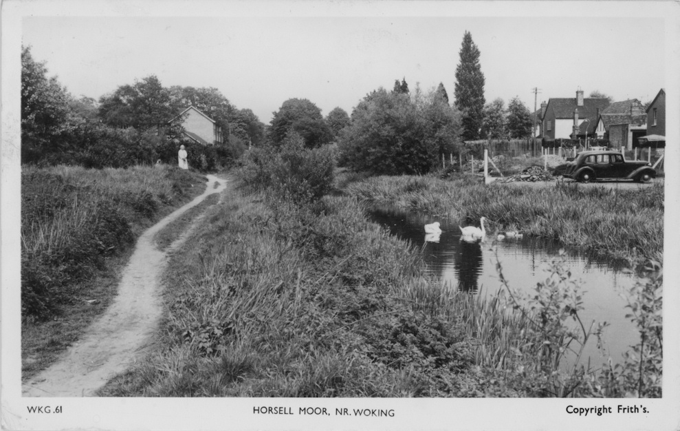
Horsell Moor c1955

Horsell Moor c1955
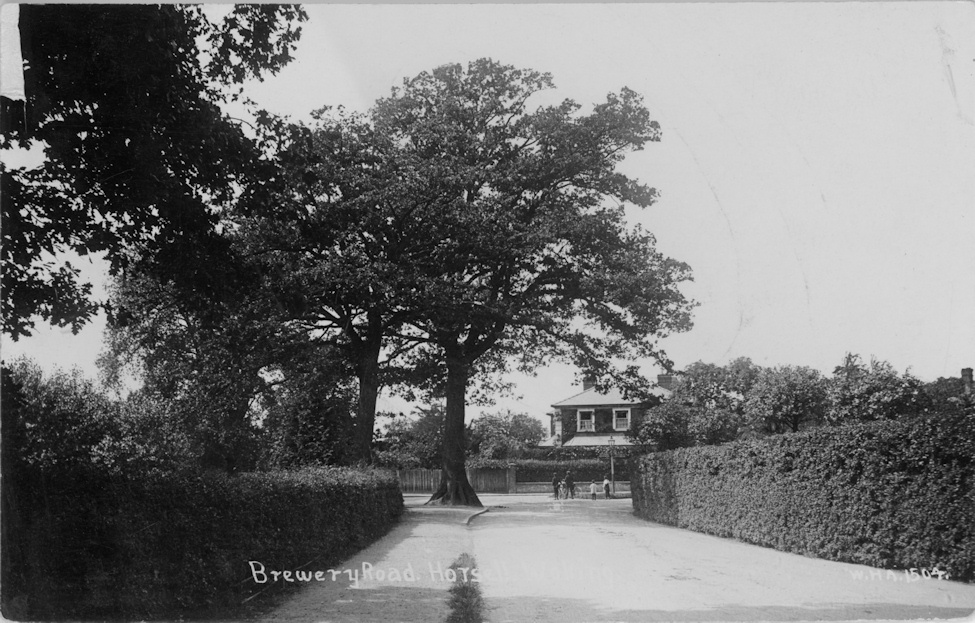
Brewery Road 1913
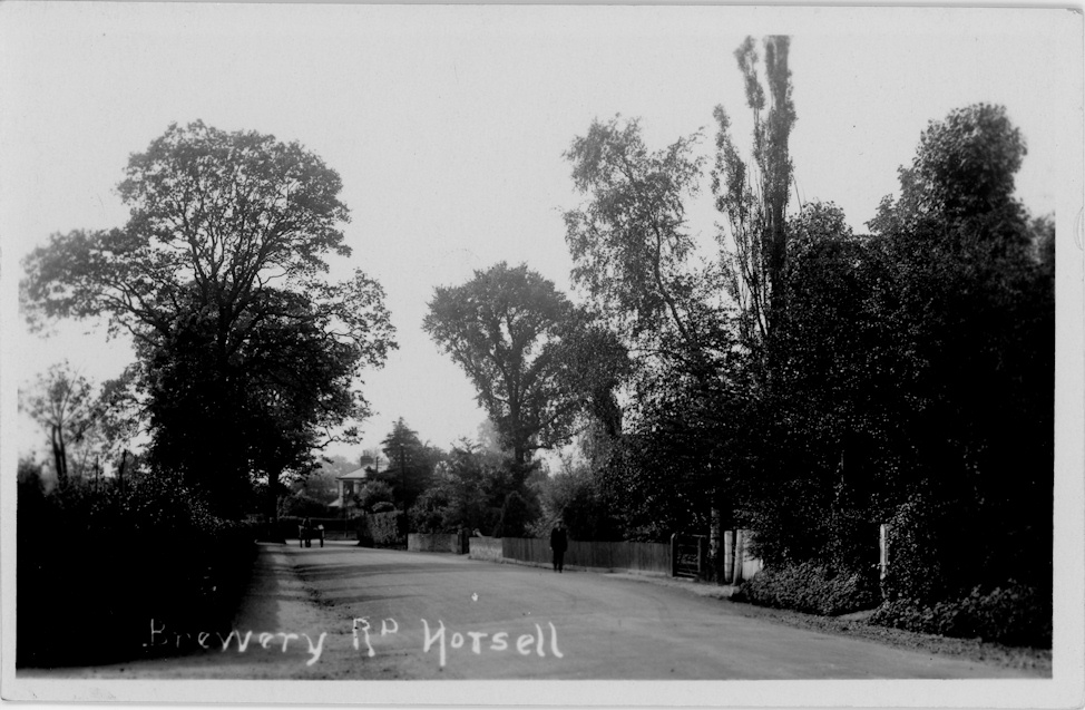
Brewery Road 1926
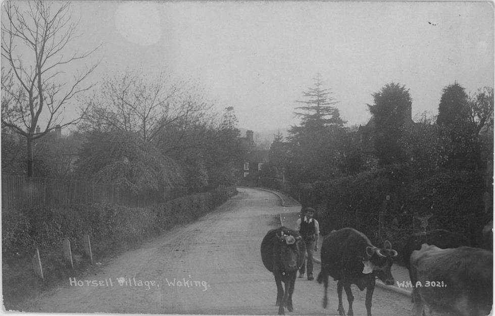
Cattle on Church Hill 1914
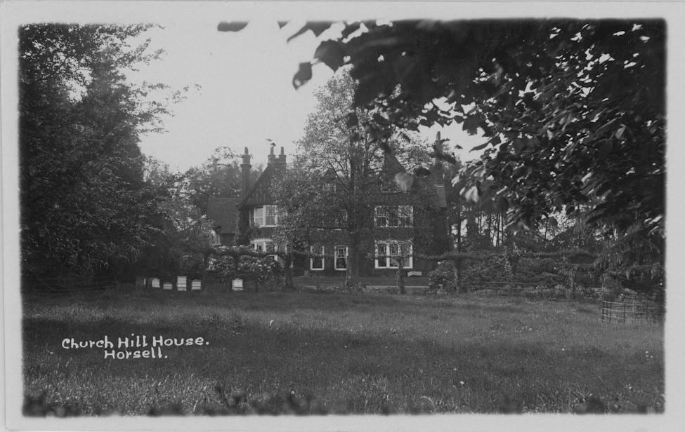
Church Hill House 1928
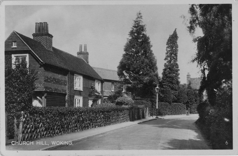
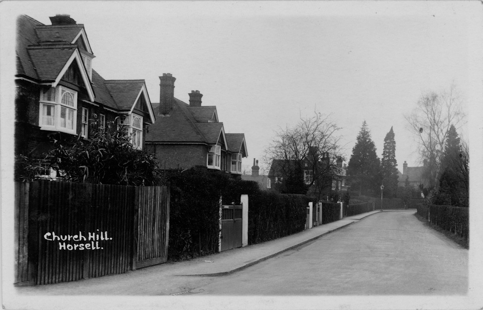
Church Hill c1930

Church Hill c1930
Church Hill c1940
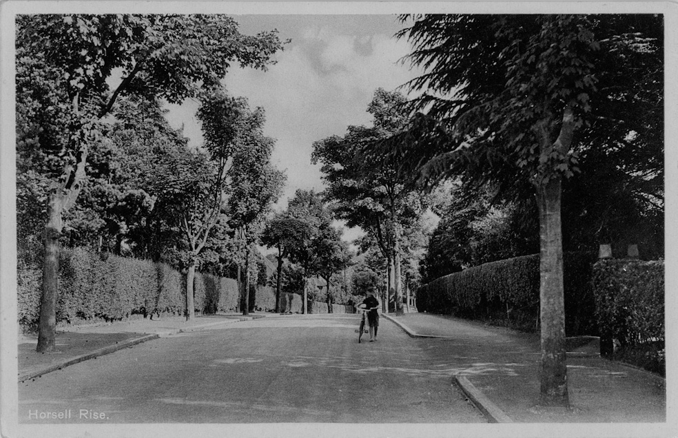
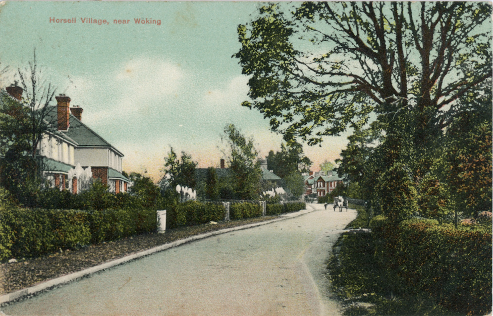
Horsell Rise

Fletcher Road c1925
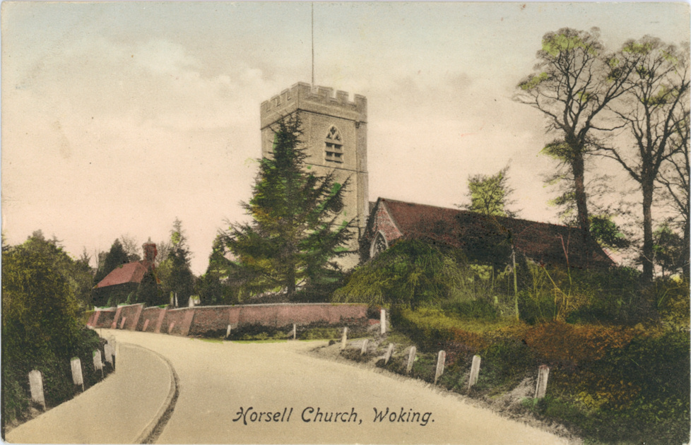
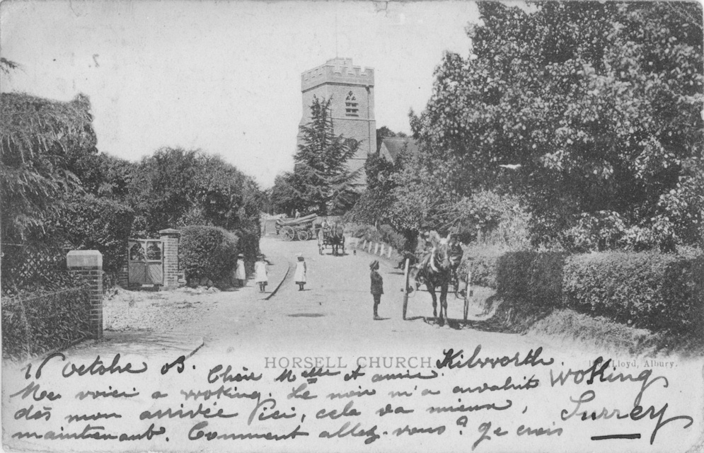
St Marys Church SW 1898
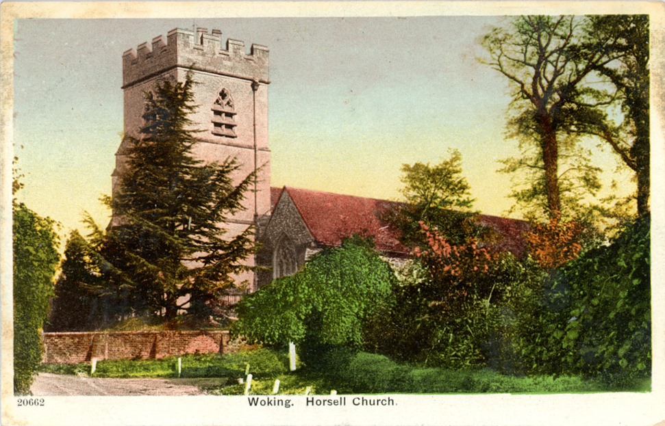
St Marys Church South c1902
St Marys Church SW c1905
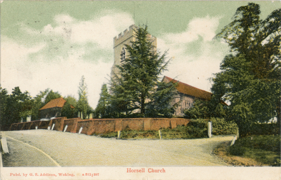
St Marys Church SW c1905

St Mary's Church interior c1905
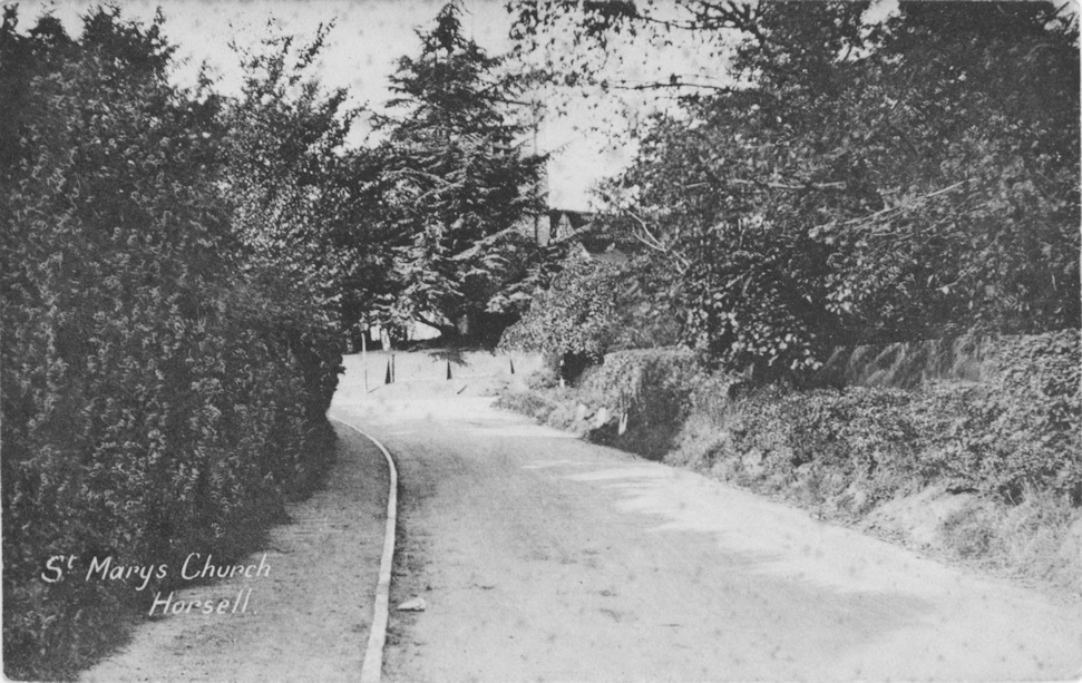
St Marys Church SW 1913

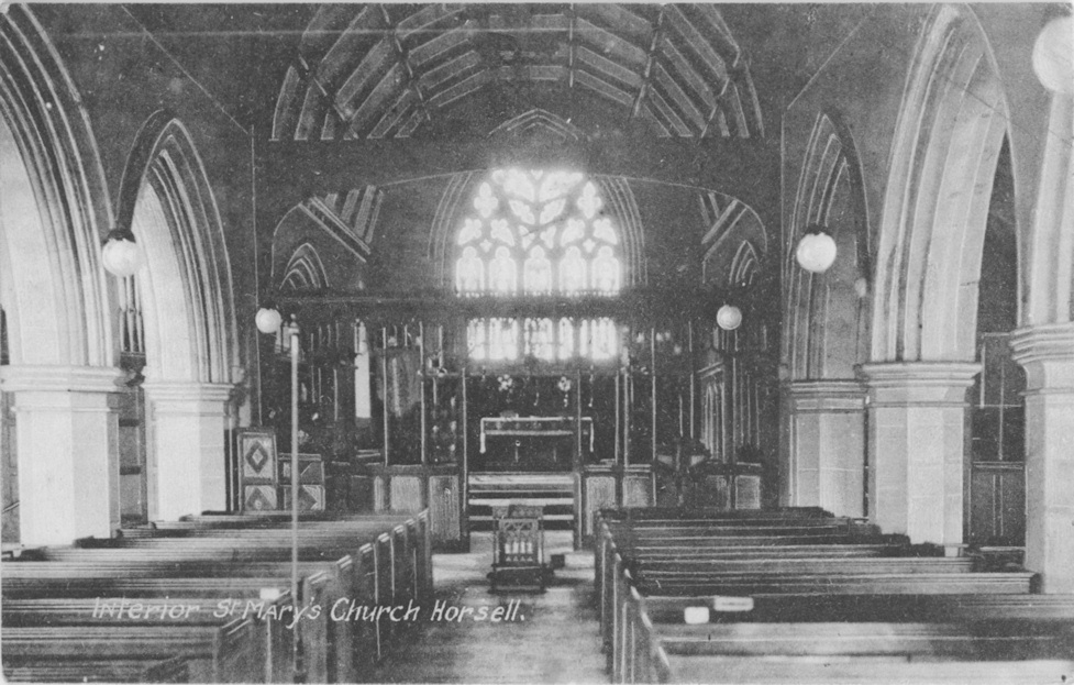
St Mary's Church interior 1913
St Marys Church South c1920
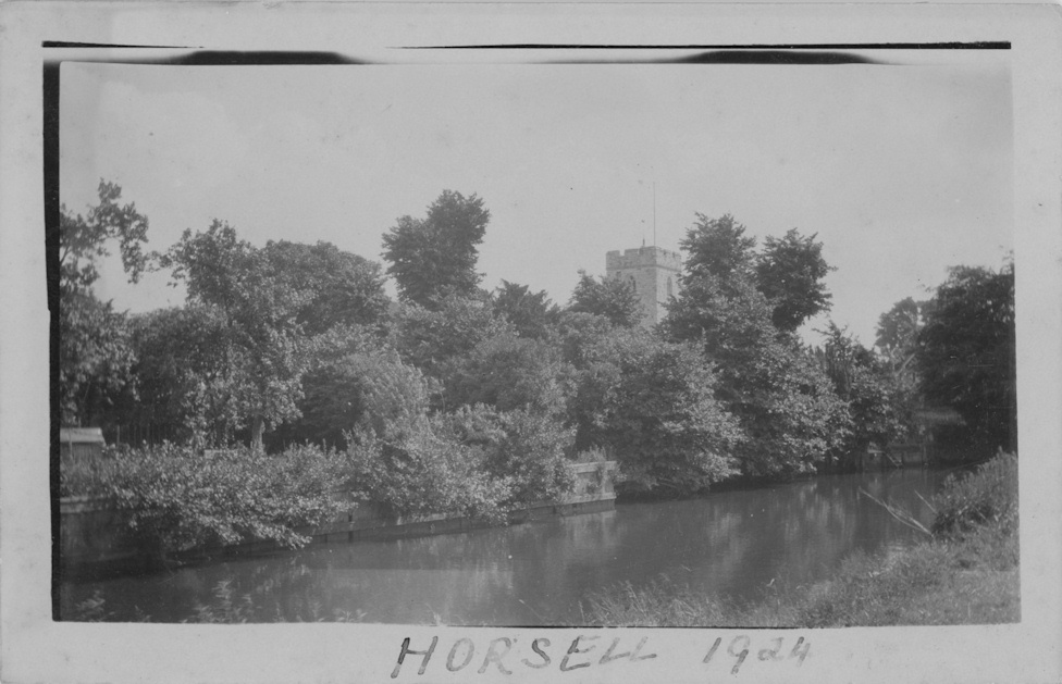
St Marys Church South 1924
St Mary's Church interior c1925
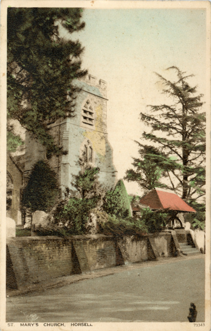
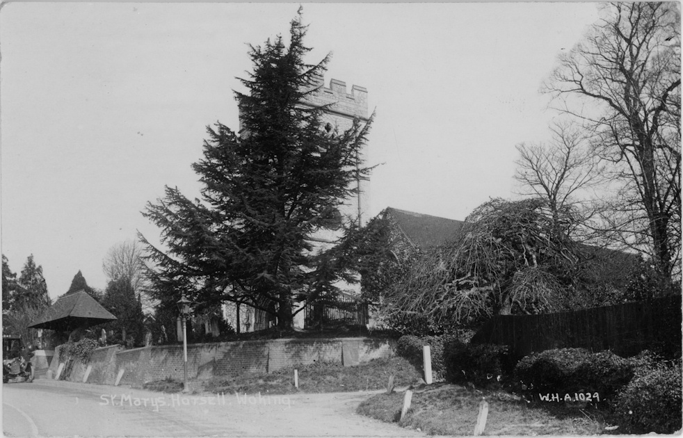
St Marys Church NW c1930
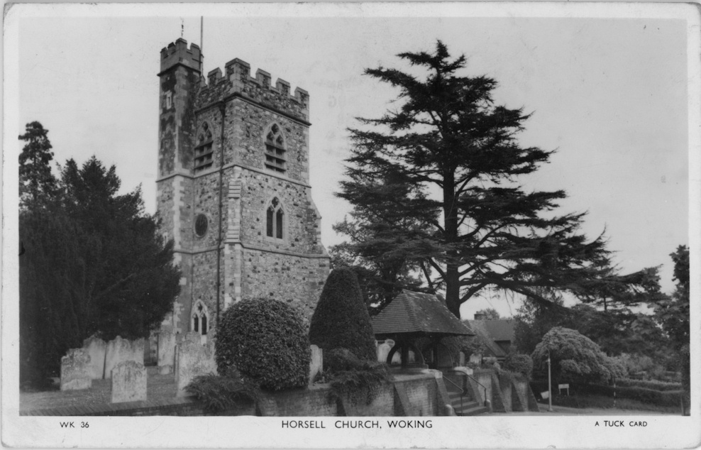
St Marys Church NW c1952
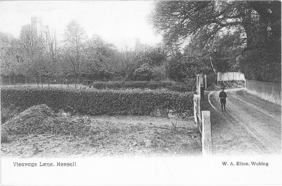
Vicarage Lane c1905
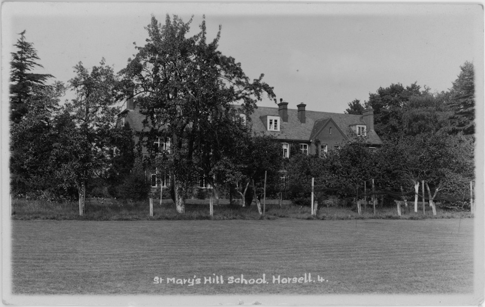
St Marys Hill School 1928
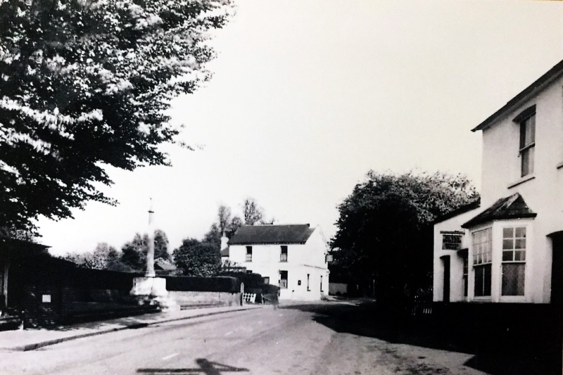
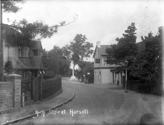
High Street & Red Lion Hotel
Red Lion Hotel 1928
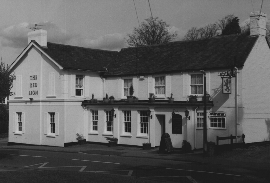
Red Lion Hotel
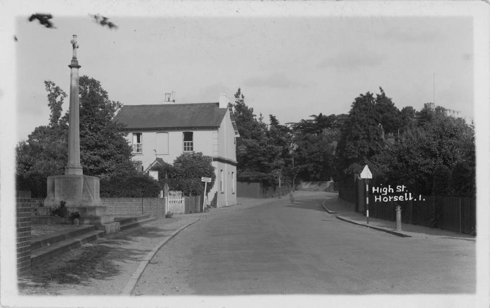
High Street & Red Lion Hotel
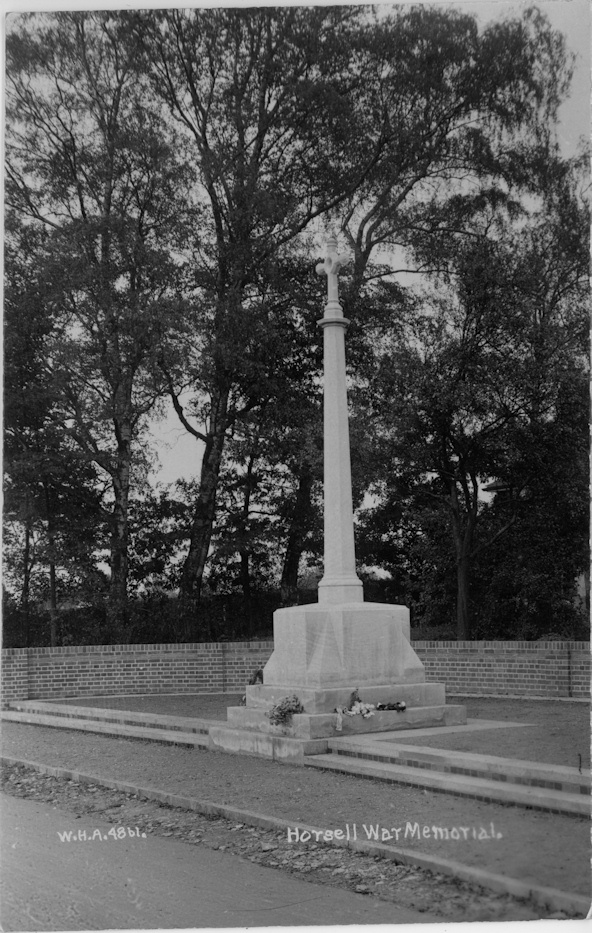
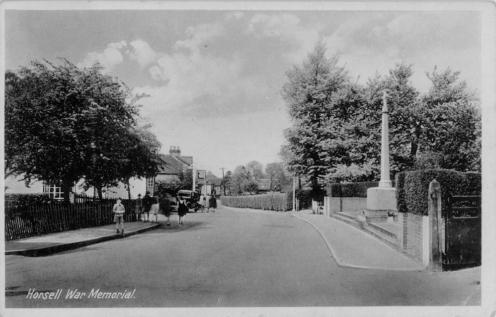
War Memorial 1921
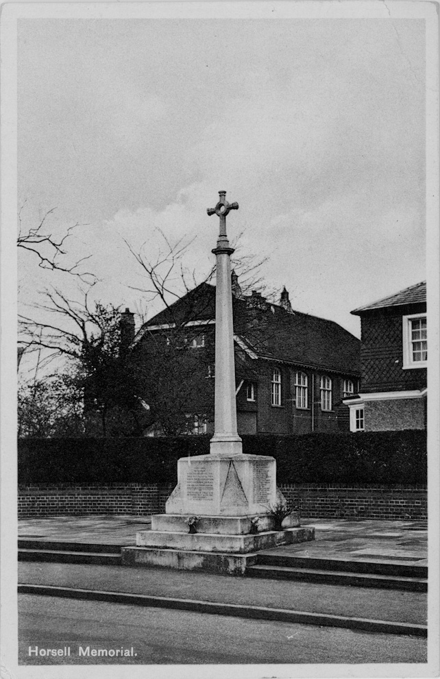
War Memorial c1935
War Memorial c1940
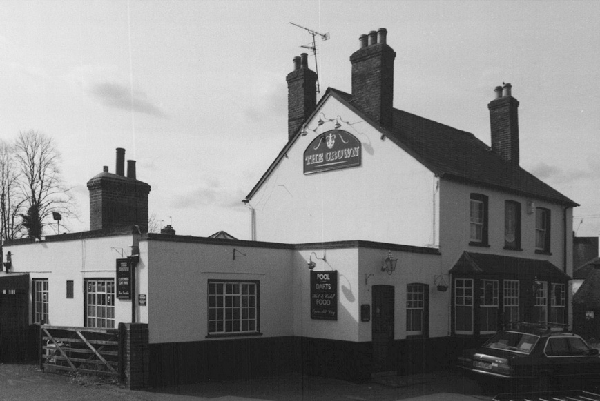
Crown Inn
High Street 1952
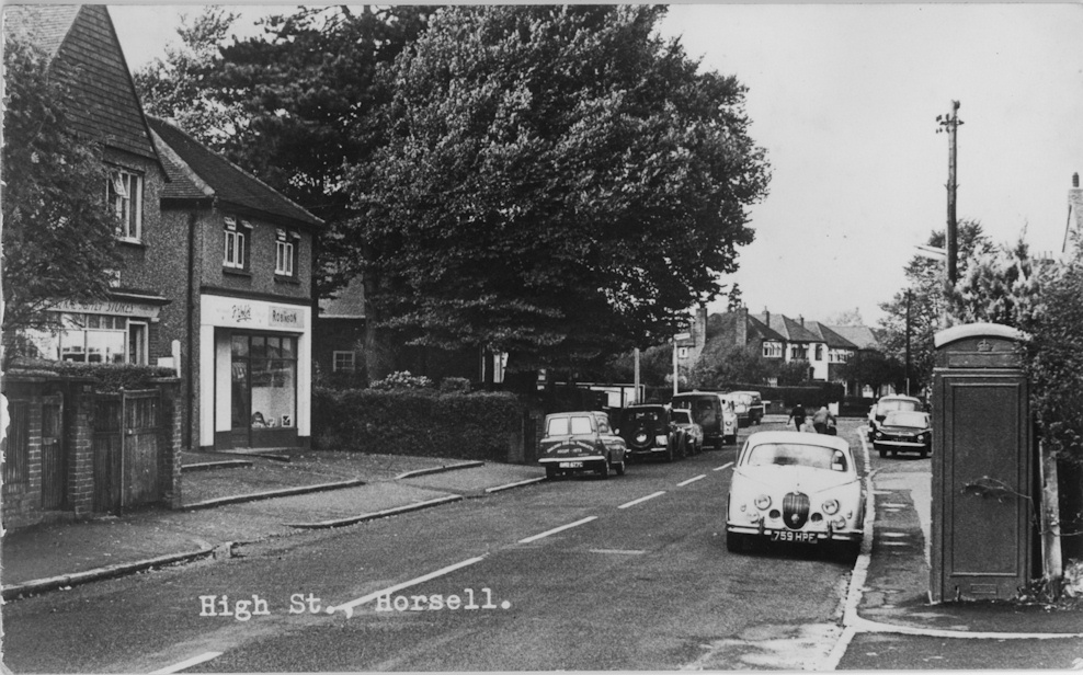
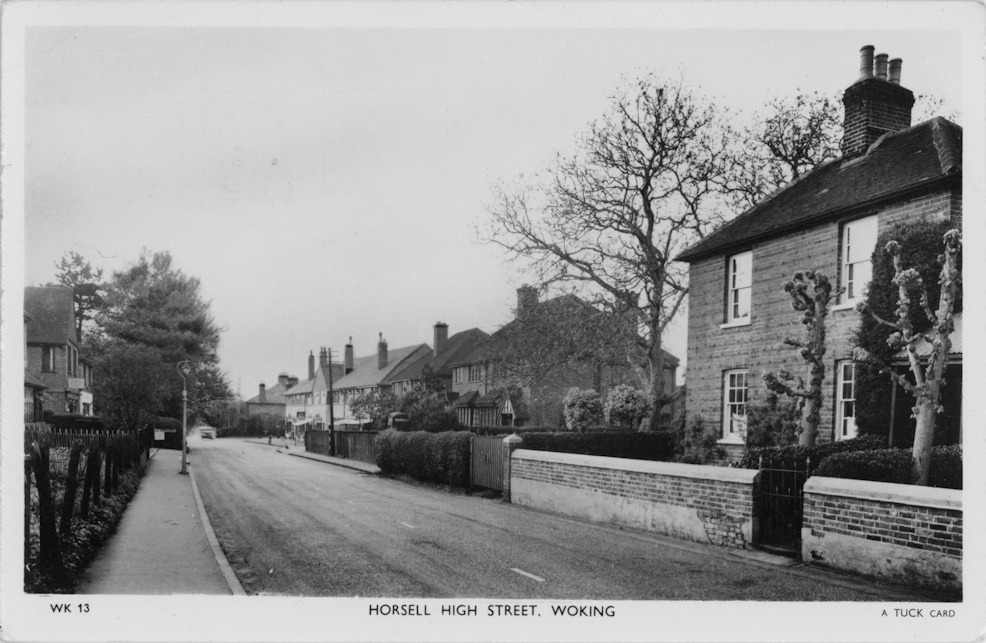
High Street c1965

Bowling Green c1970

High Street and Post Office c1915
High Street W-E c1903
High Street
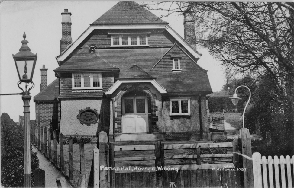
Parish Hall 1913
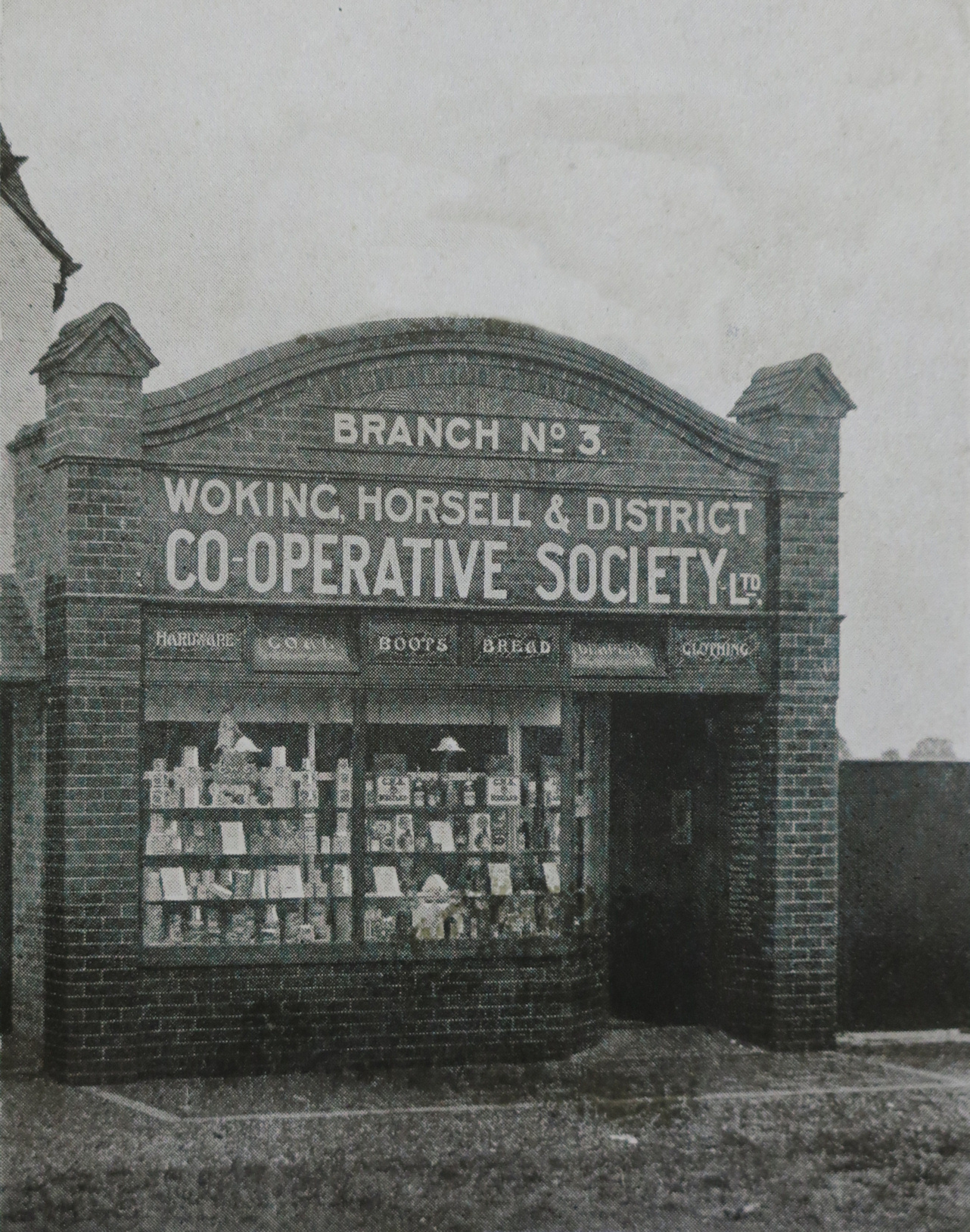
Horsell Branch Co-Op, Well Lane c1915
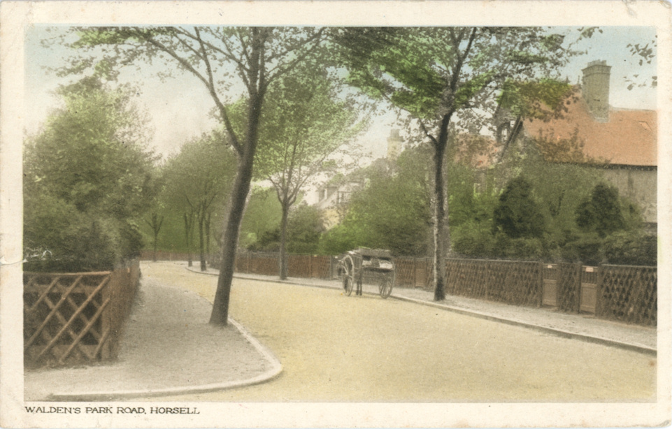
Waldens Park Road c1910
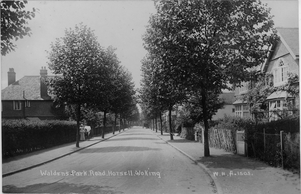
Waldens Park Road 1913

Waldens Park Road 1928
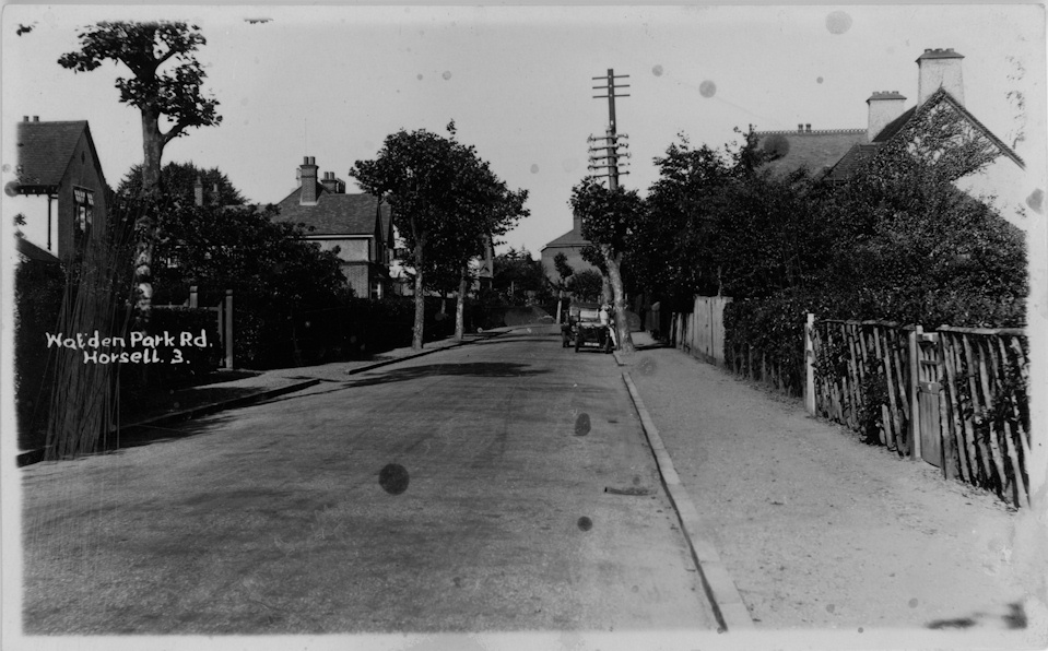
Waldens Park Road 1928
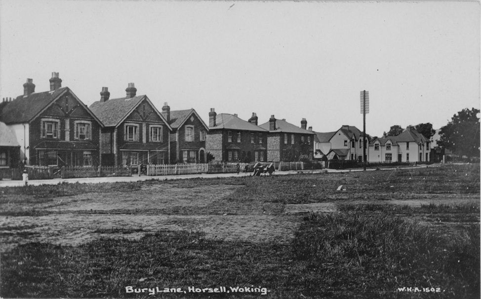
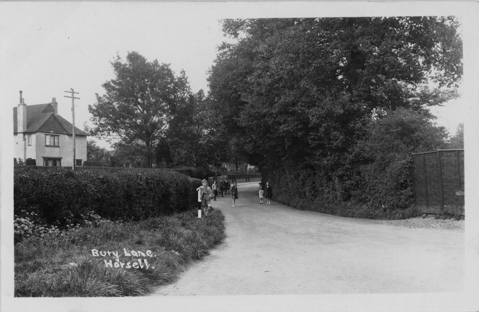
Bury Lane 1913
Bury Lane c1925
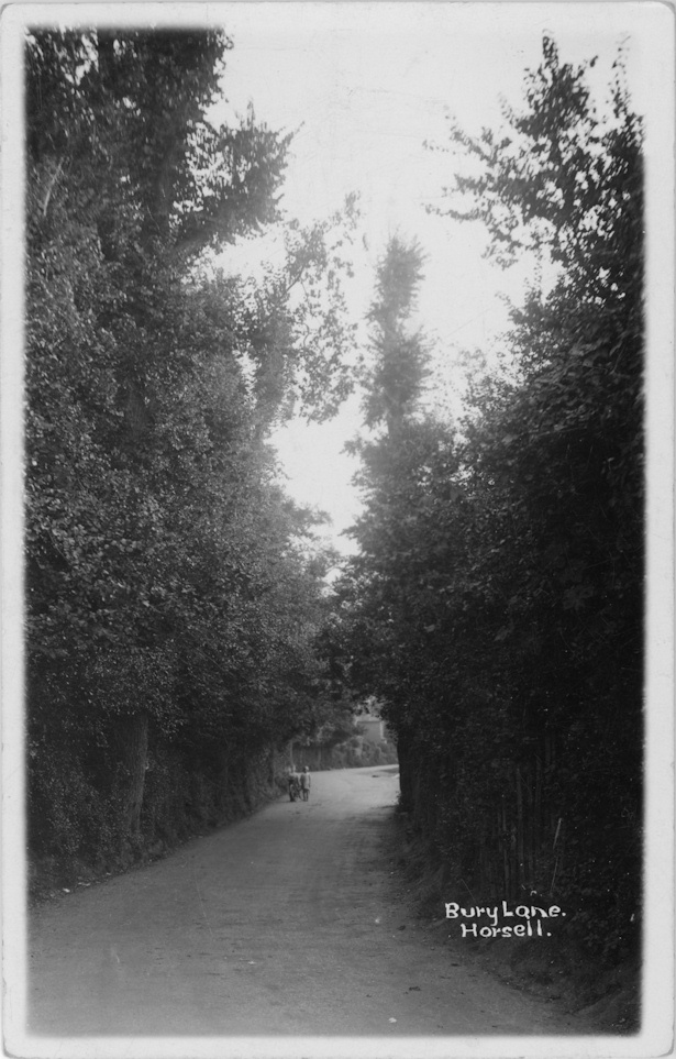
Bury Lane c1925
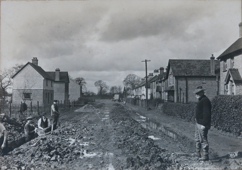
Russell Road 1907 before repair
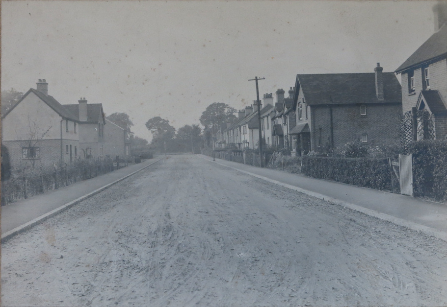
Russell Road 1907 after repair

Grove Barrs
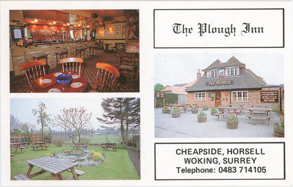
Plough Inn c1990

Plough PH

Windmill
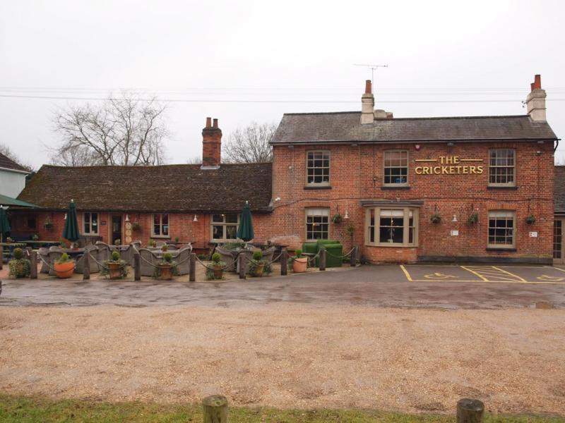
Cricketers PH

Cricketers PH
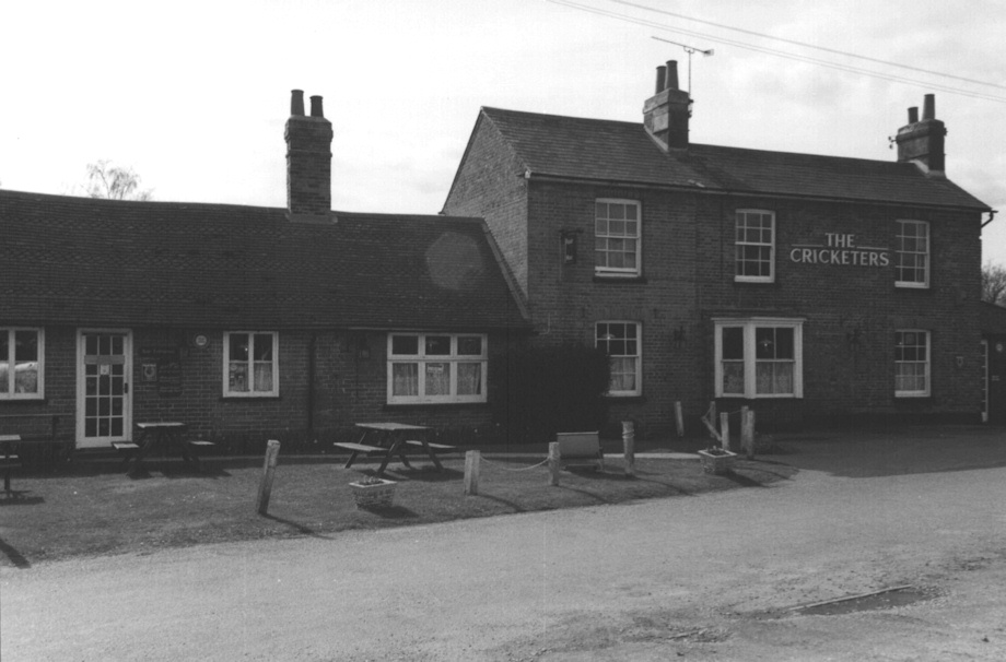
Cricketers PH
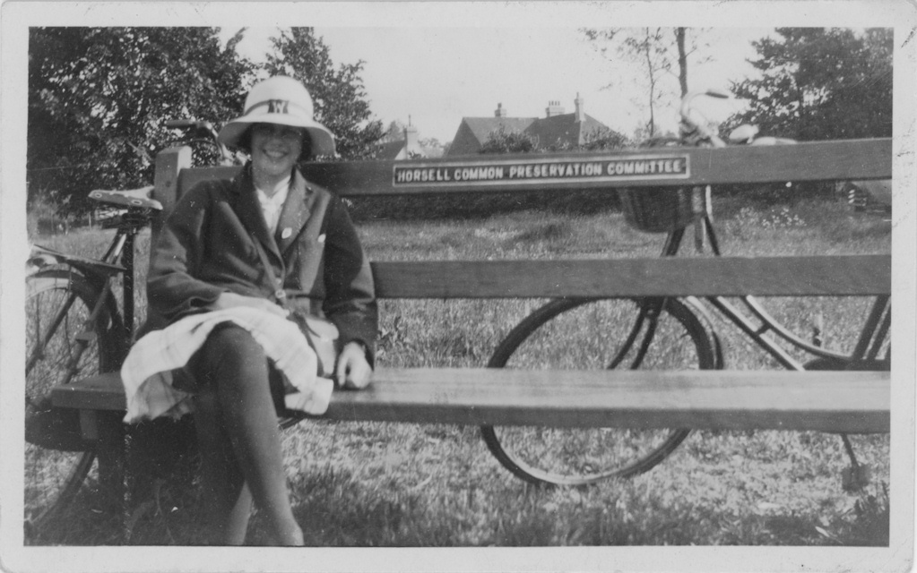
HCPC Bench c1950
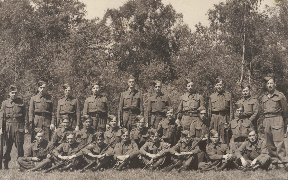
Horsell Home Guard c1940
(Victor Parker standing 5th from right)

Barley Mow
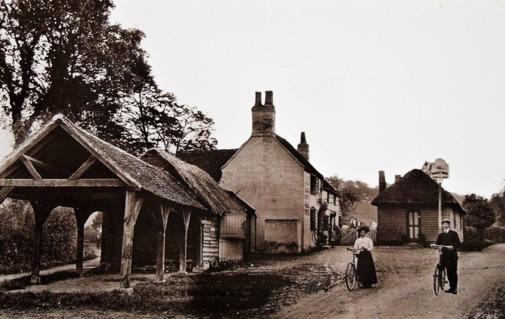
Barley Mow
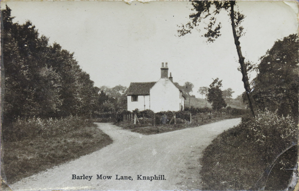
Barley Mow