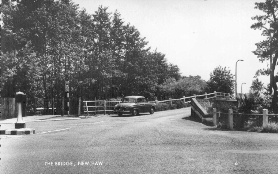
New Haw (Fulbrook) Bridge
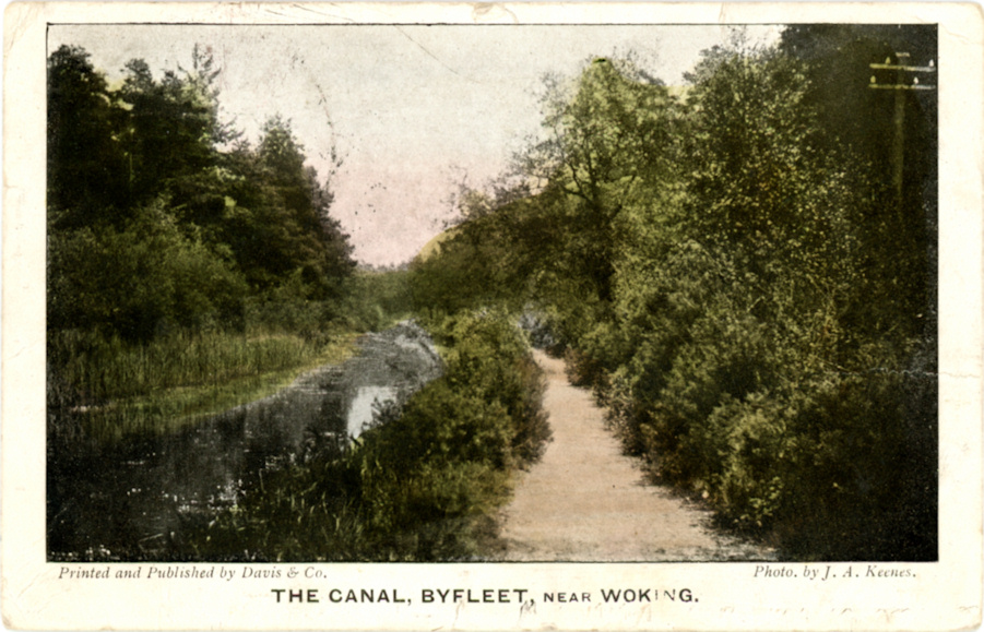
Canal at Byfleet c1903
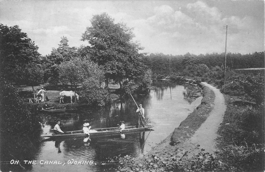
Basingstoke Canal - Punt c1905
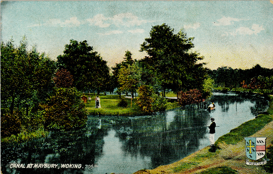
Basingstoke Canal - Maybury c1895
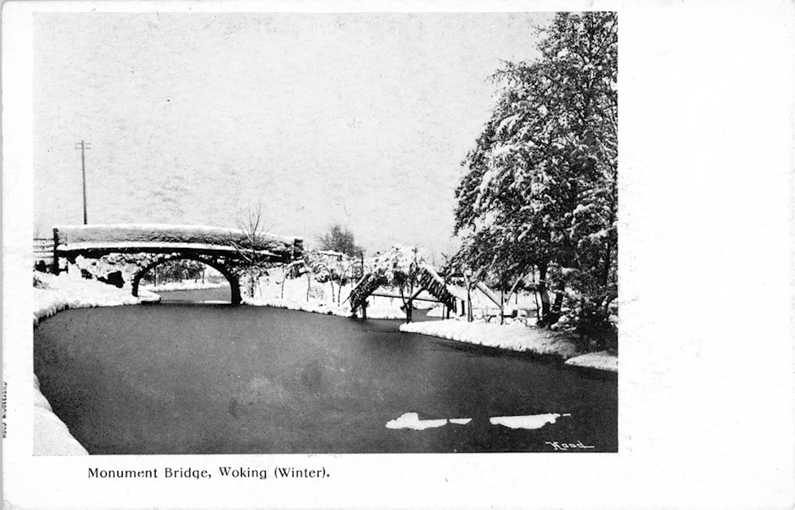
Monument Bridge (Bunkers Bridge) winter c1903
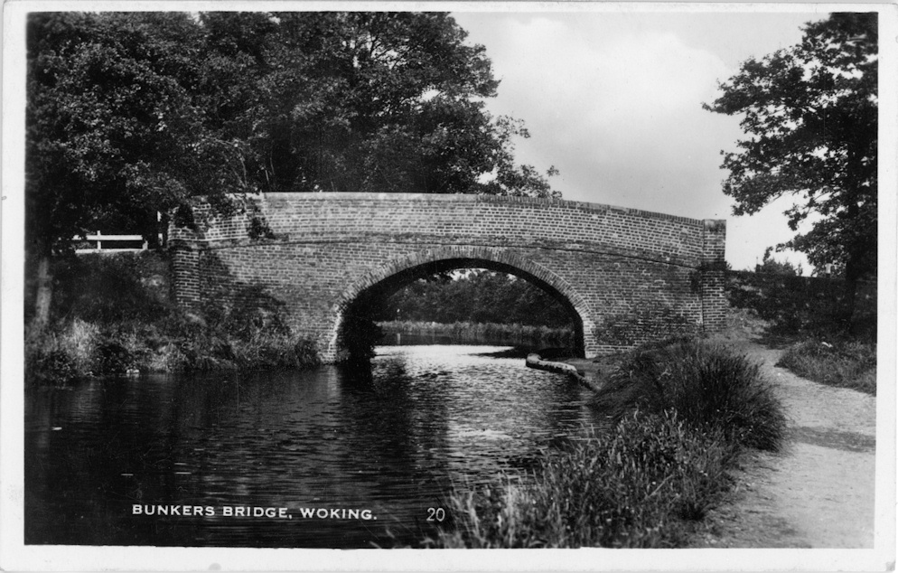
Bunkers Bridge
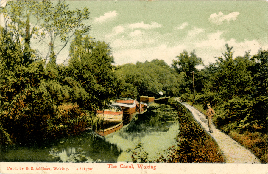
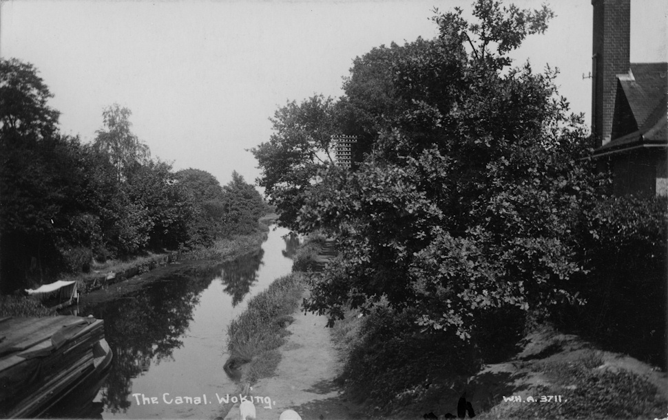
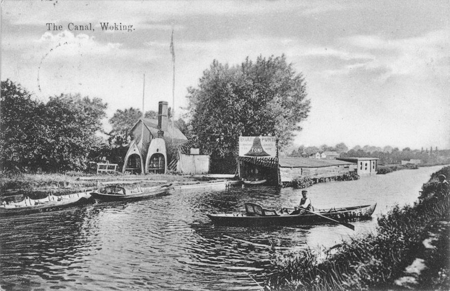
Basingstoke Canal c1905
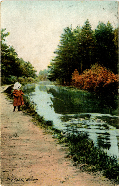
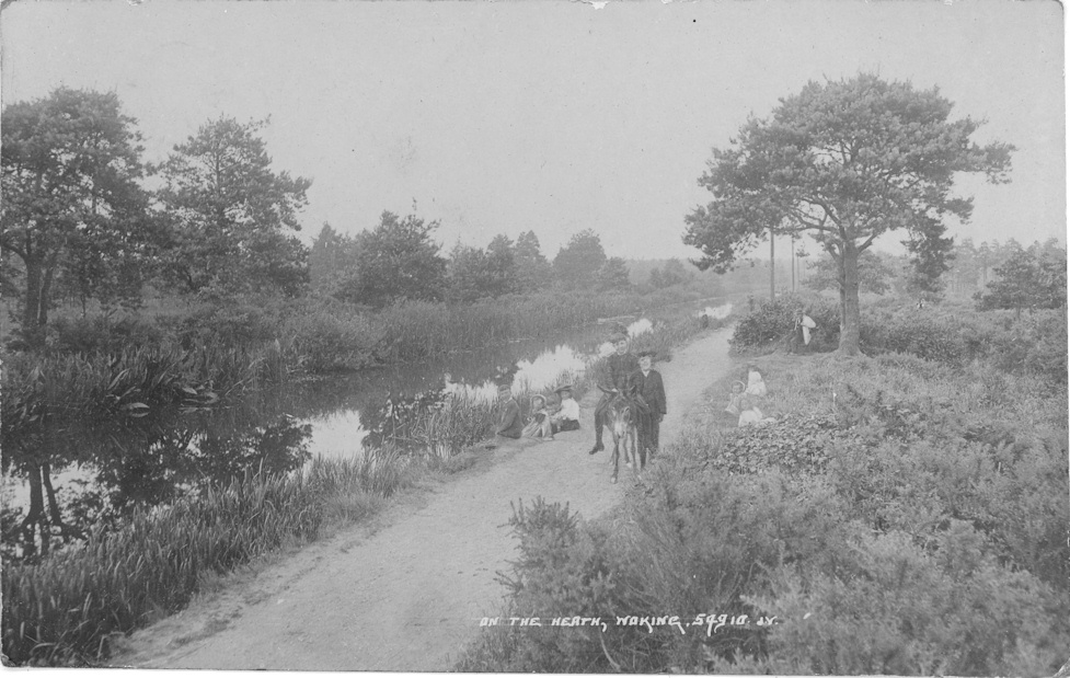
Basingstoke Canal - Fishing c1905
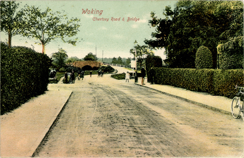
Chertsey Road Bridge c1900
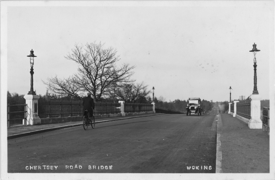
Chertsey Road Bridge c1930
View back to town from Chertsey Road bridge c1915
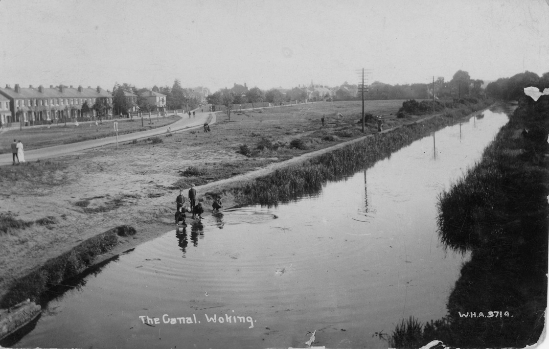
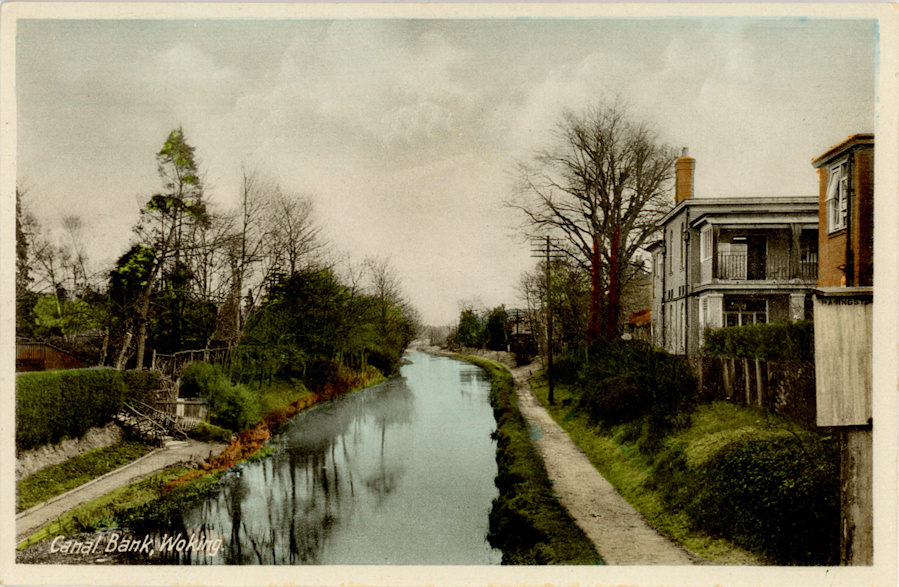
Basingstoke Canal (Boundary Road) c1915
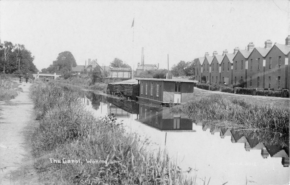
Basingstoke Canal 1906

Basingstoke Canal c1910
Basingstoke Canal c1915
Basingstoke Canal near Wheatsheaf Bridge
Chobham Road (Wheatsheaf) Bridge c1950
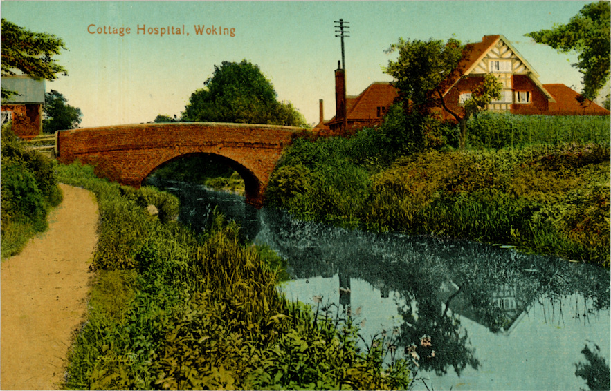
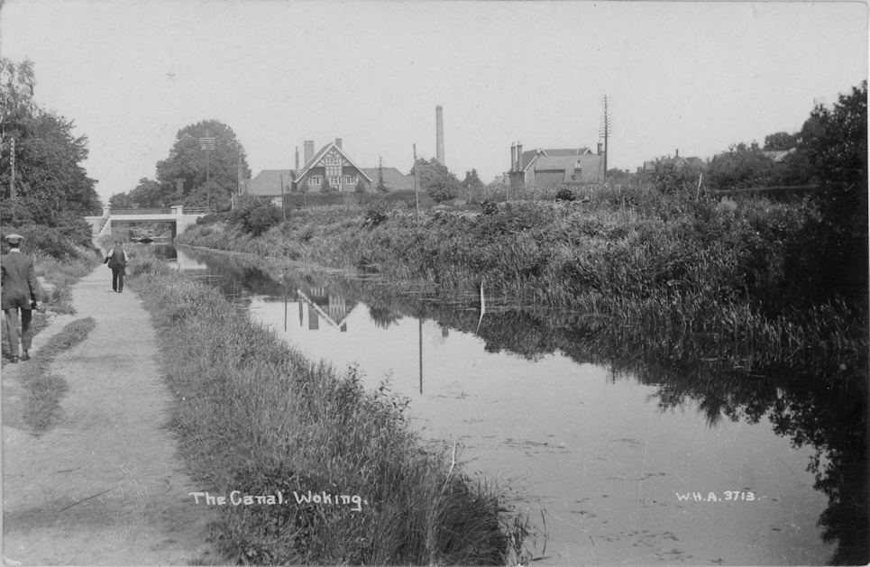
Wheatsheaf Bridge & Victoria Hospital c1905
Wheatsheaf Bridge & Victoria Hospital c1915
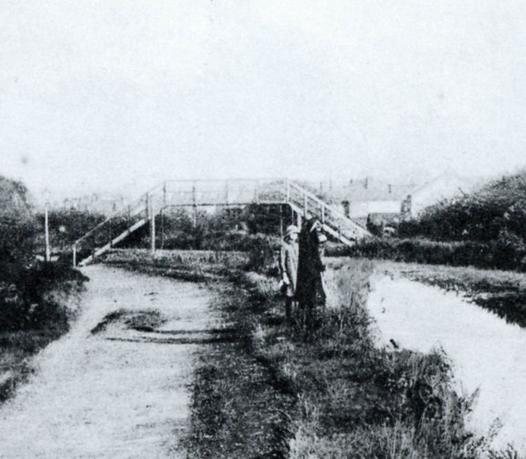
Step Bridge

Step Bridge
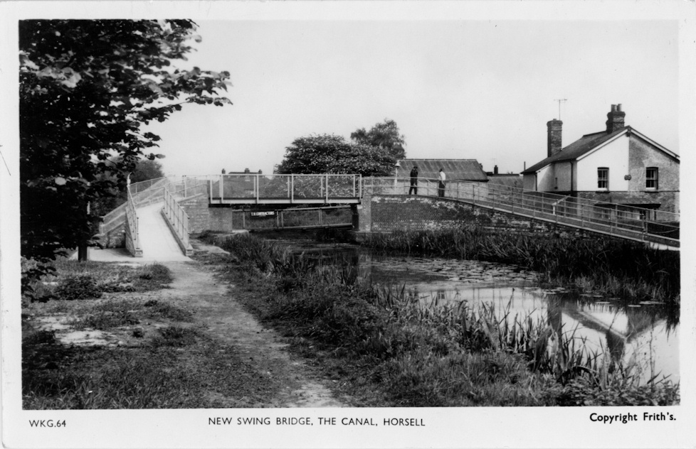
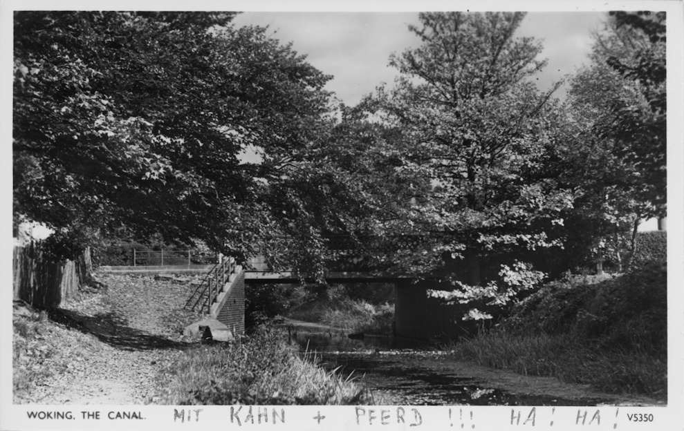
New Swing Bridge c1955
Basingstoke Canal near Langham's Bridge c1905

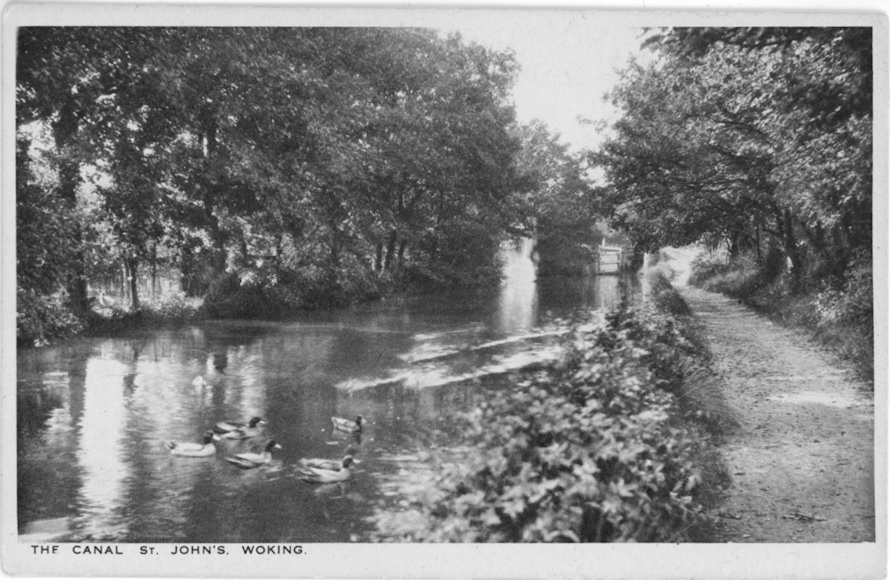
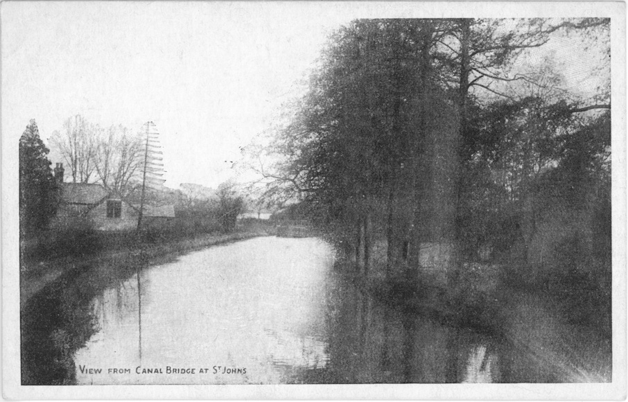
Basingstoke Canal, St John's c1913
Basingstoke Canal, St John's c1920
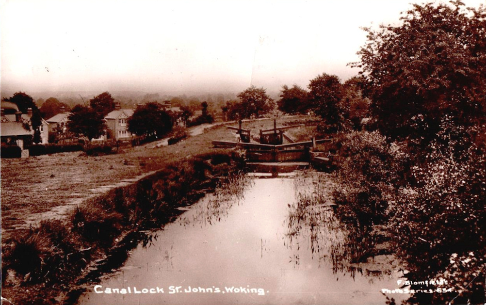
Basingstoke Canal Lock, St Johns
Basingstoke Canal viewed from Kiln Bridge c1920
Hermitage Bridge c1930
Hermitage Bridge c1910
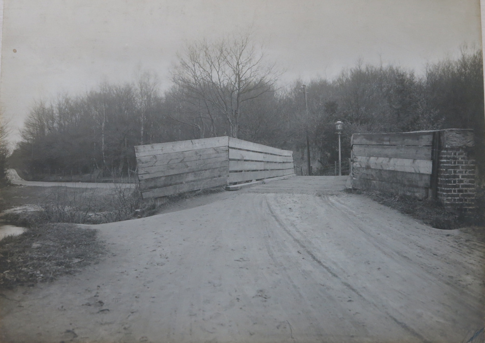
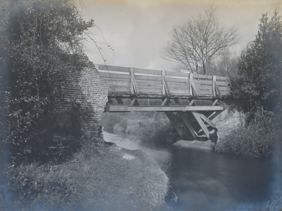
The bridge had collapsed in October 1904 and the council had made a temporary repair. A new bridge was built in 1915
Hermitage Bridge c1910

Hermitage Bridge
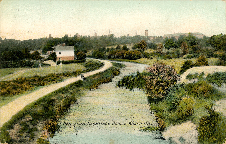
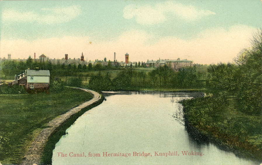
View from Hermitage Bridge summer c1905
View from Hermitage Bridge winter c1905
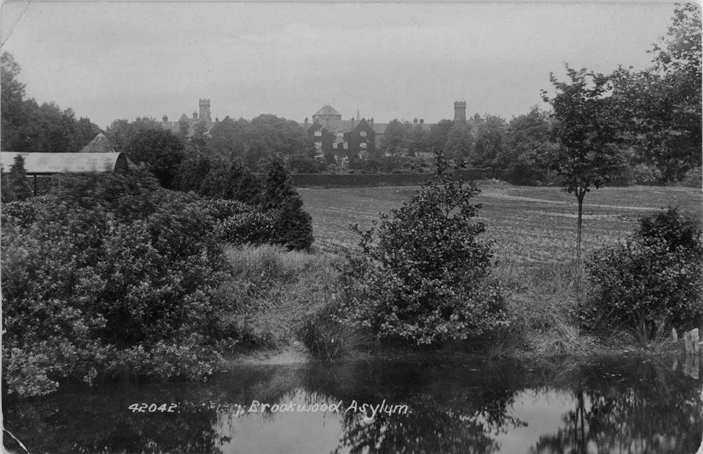
Surrey County Asylum (Brookwood Hospital) 1898

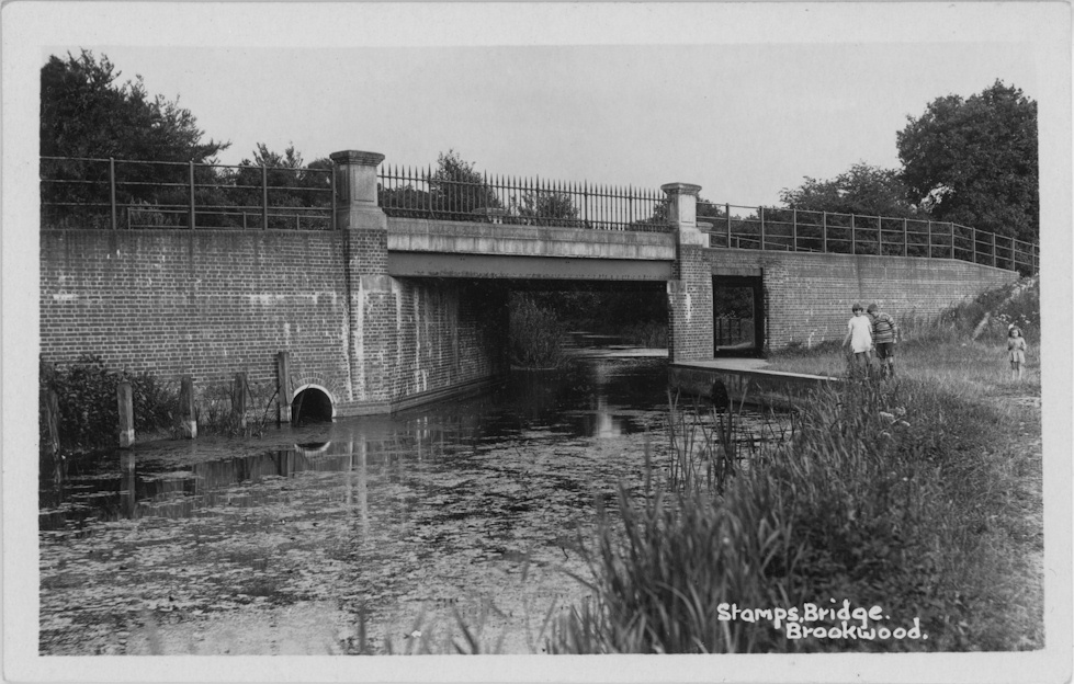
Brookwood (or Stumps Bridge) 1914

Stumps Bridge 1914
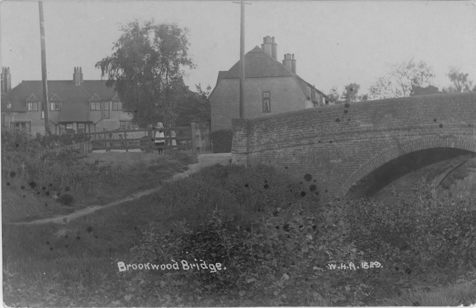
Stumps Bridge 1914

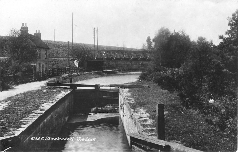
Brookwood Lock c1930
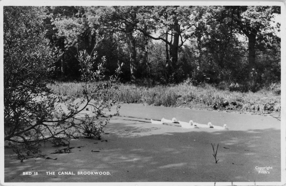
Basingstoke Canal, Brookwood c1950
Pirbright Lock and Girder Bridge for Bisley branch line
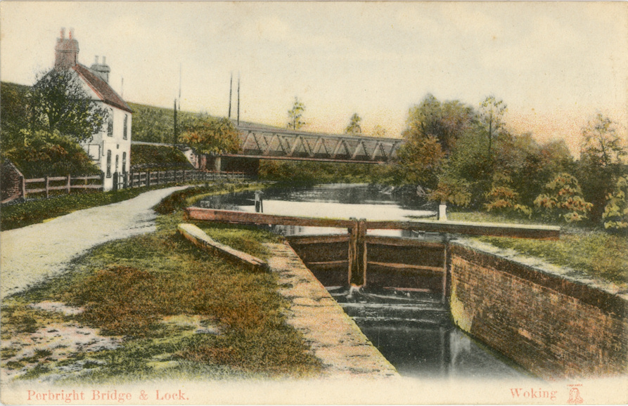
Pirbright Lock and Girder Bridge for Bisley branch line