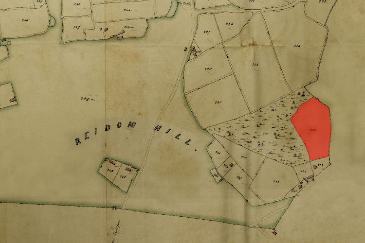
1846 Tithe Map plot number: |
232 |
1896 1:2500 OS Map plot number: |
252 |
Wood Mead was a meadow of about two and a half acres, situated on the eastern edge of the parish adjacent to Hangmoor Copse. In the Tithe Award it was measured as 2 acres 1 rood and 31 perches; described on the OS Map as 2.272 acres.