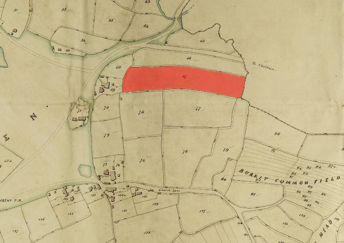
1846 Tithe Map plot number: |
67 |
1896 1:2500 OS Map plot number: |
29 |
Wheat Field was aan arable field of about four acres, situated in the north of the parish adjacent to Bonnells. In the Tithe Award it was measured at 3 acres 3 roods and 30 perches; described on the OS map as 4.101 acres.