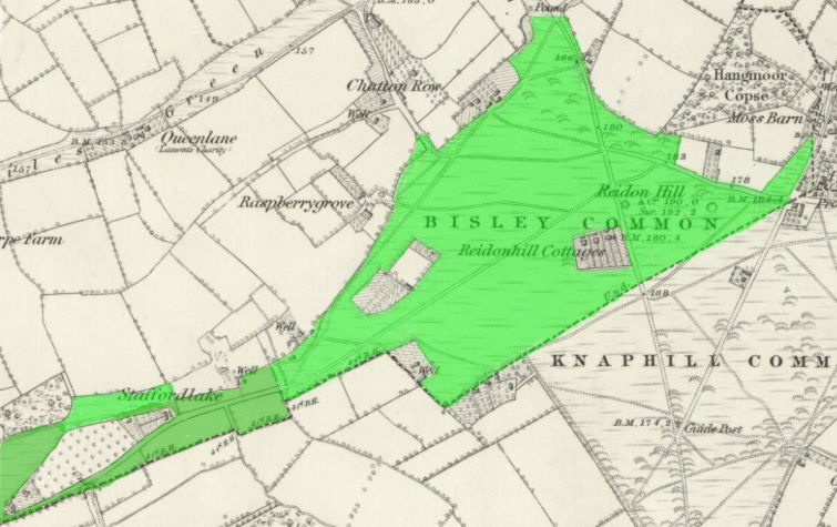
1846 Tithe Map plot number: |
269a |
1896 1:2500 OS Map plot number: |
257 |
aka REIDON HILL; alt sp -Ryding Hill, Riden Hill, Reidons Hill
Riding Hill is an area of common land situated in the south of the parish. In the Tithe Award it was measured at 76 acres 2 roods and 21 perches; described on the OS map as 59.028 acres.
