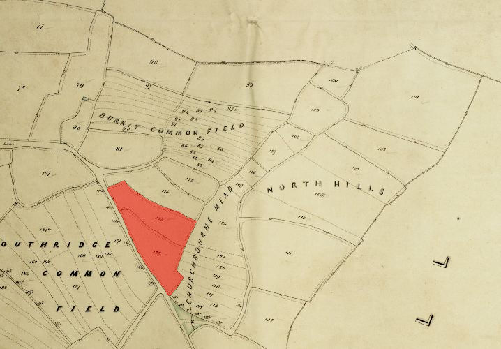
1846 Tithe Map plot number: |
122 & 123 |
1896 1:2500 OS Map plot number: |
135 |
Church Lane Field was a name applied to two closes of arable land, in total about three acres, situated on the north-east side of Church Lane. In the Tithe Award they were measured at 1 acre 2 roods 26 perches and 1 acre 2 roods 6 perches respectively.
Plot 123 was also known as Palmer's Field.